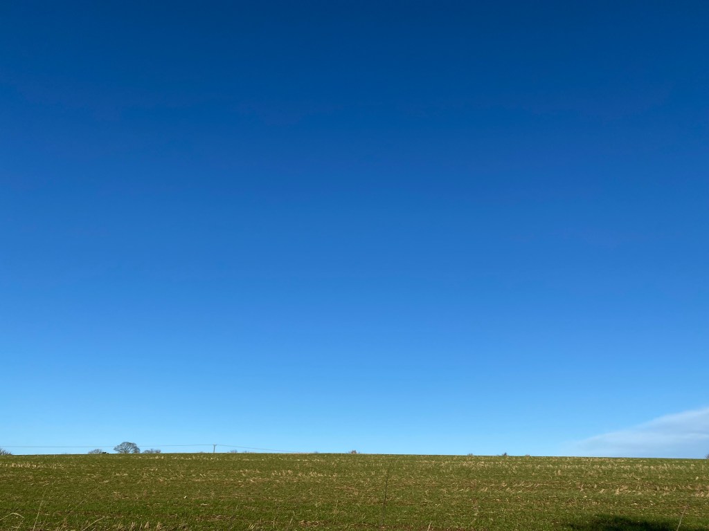
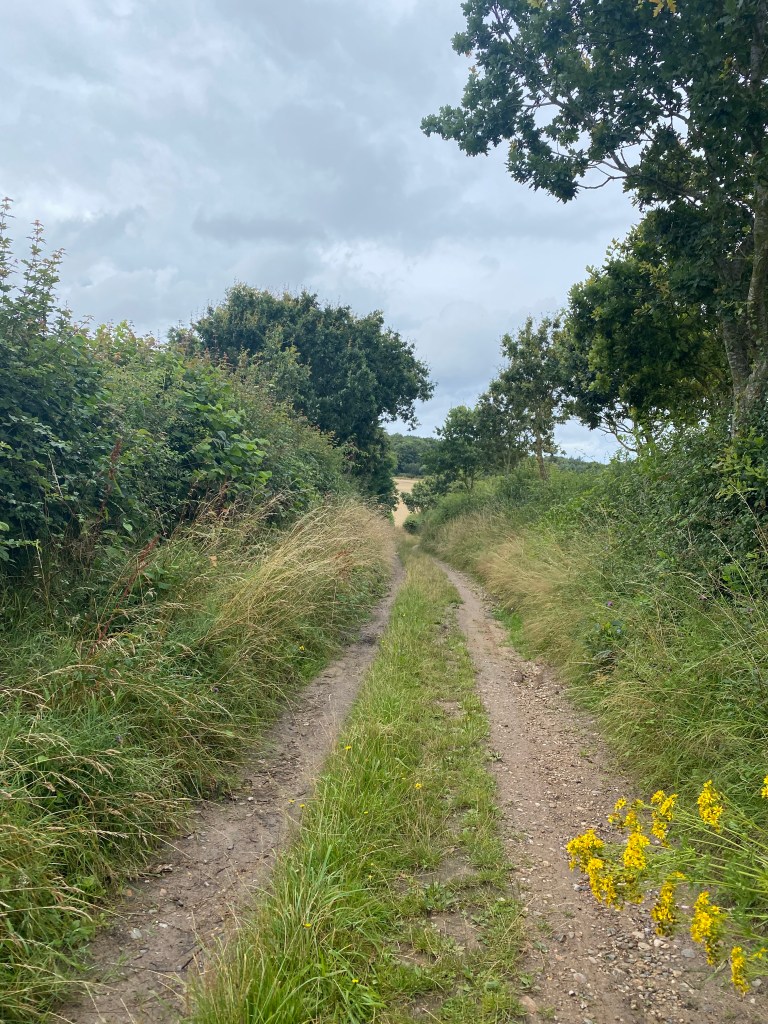
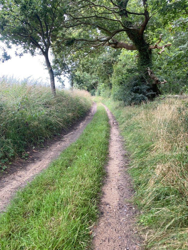
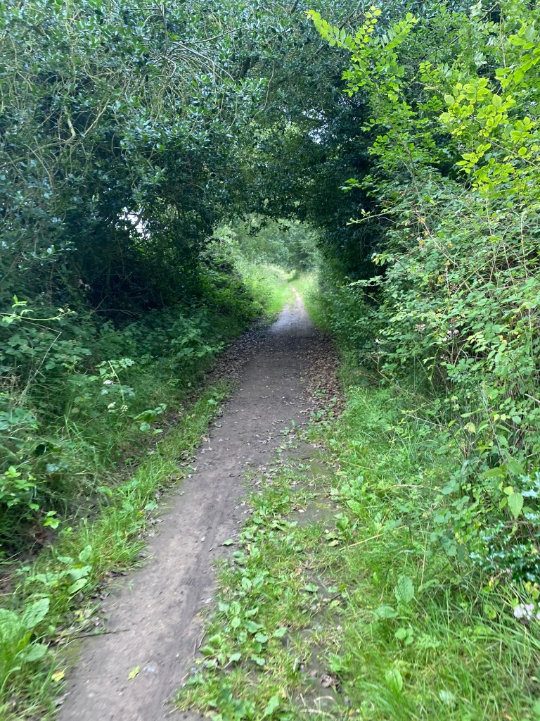
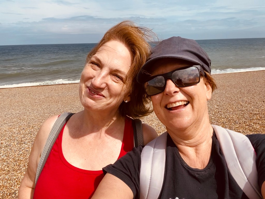
Norfolk is a walkers paradise. Deep, sunken green lanes, hidden streams with crystal clear water and sometimes fields of cows of which I’m too frightened to cross. I’ll write up some of my favourites on this page for you to follow if you wish.
None of the routes cross private land and all were passable on the day we walked. I can very much recommend the Ordnance Survey app to help with mapping and orientation and always carry a variety of gear because even mild old Norfolk can turn pretty foul, pretty quickly.
If you would like to walk in company, join us at Norfolk Notes Walking. All our walks for the first part of the season are here.
The thinking but not concentrating walk…
I absolutely love maps and am at my happiest with heap of maps around me, a glass of single malt and a vague idea of the distance that I’d like to walk – but no idea at all of where. There is something special about looking at the shape of footpaths on paper, reading the contour lines (a very quick task in Norfolk…) and planning a route. The hardest part is culling a particular loop of a path as taking it would mean you would be walking for over ten hours…
There are those days, though, when your body needs to walk but your brain needs to concentrate on what is bothering you and not where you are going. This walk is my go-to solvitur ambulando (solve it by walking) for those occasions when my brain is full and I only want to concentrate on being out and walking, and not map reading.
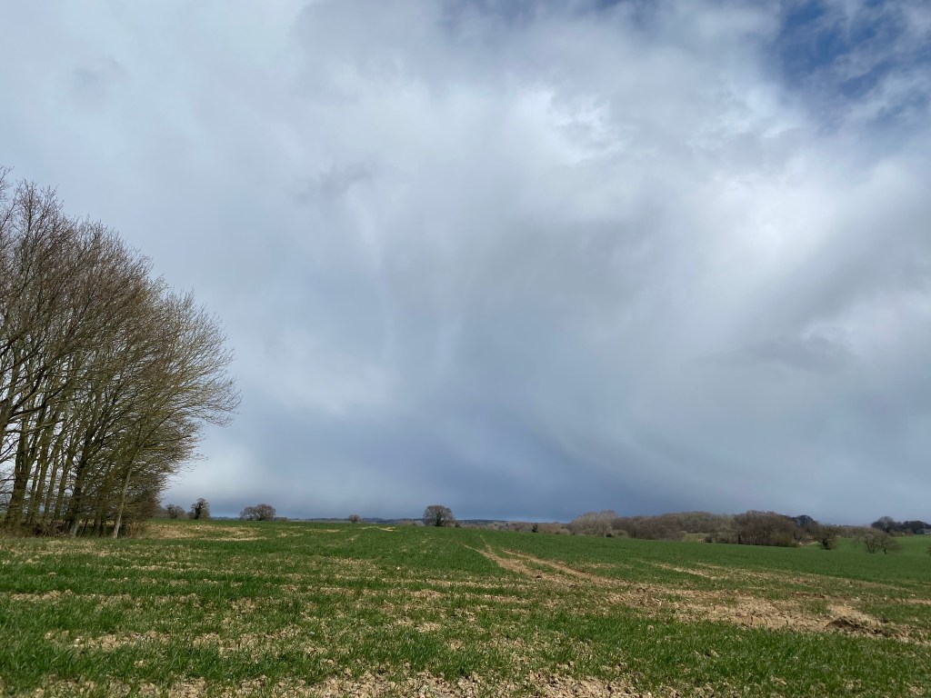
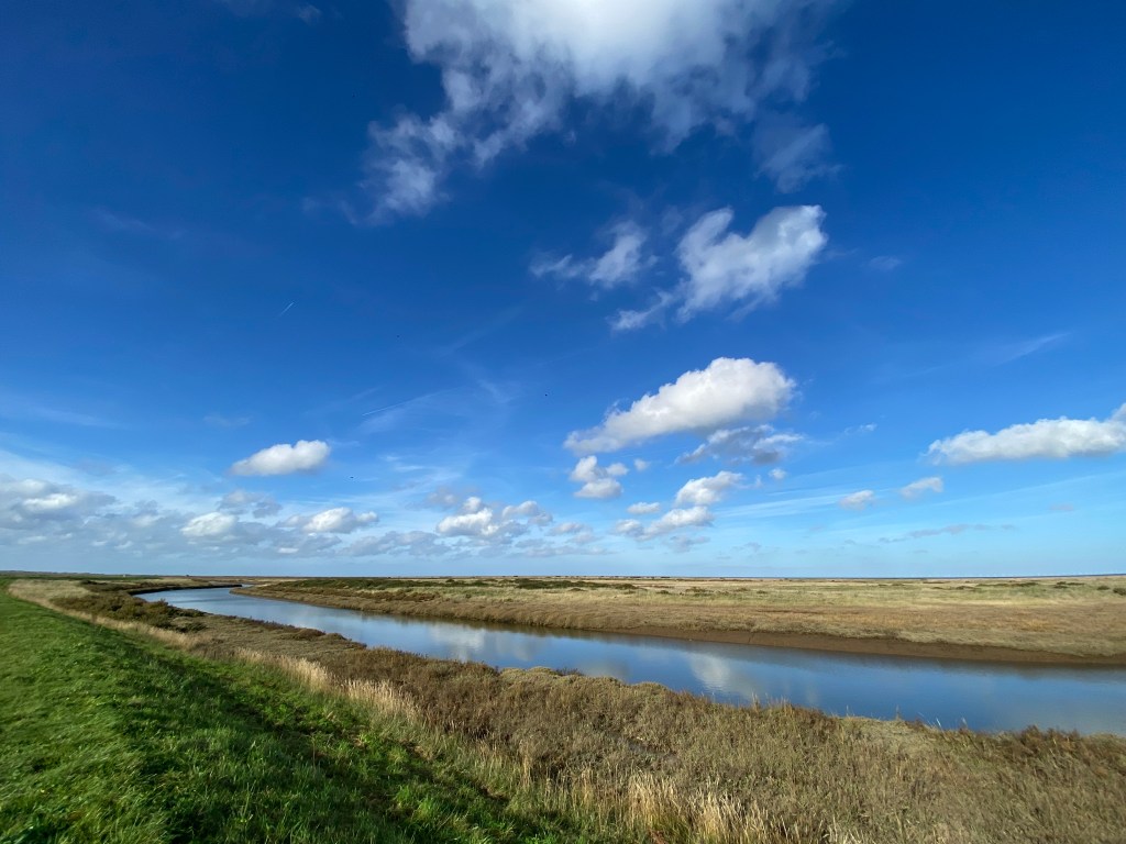
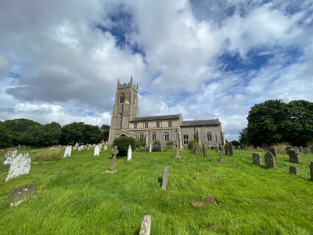
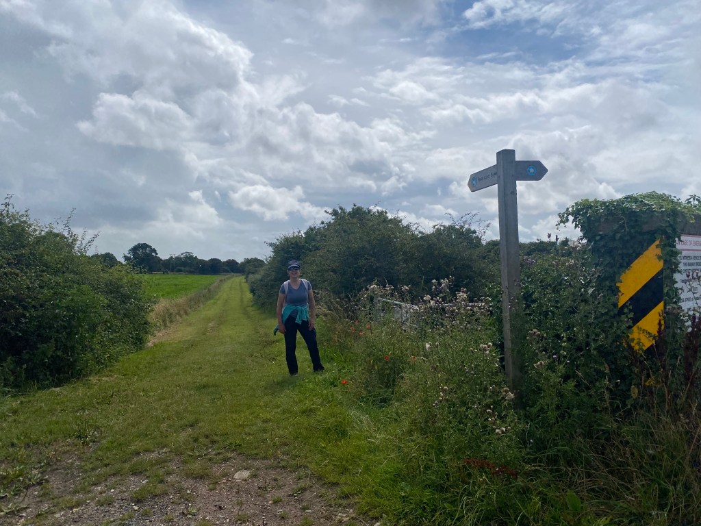
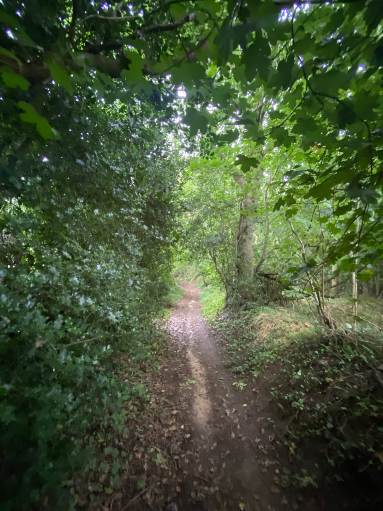
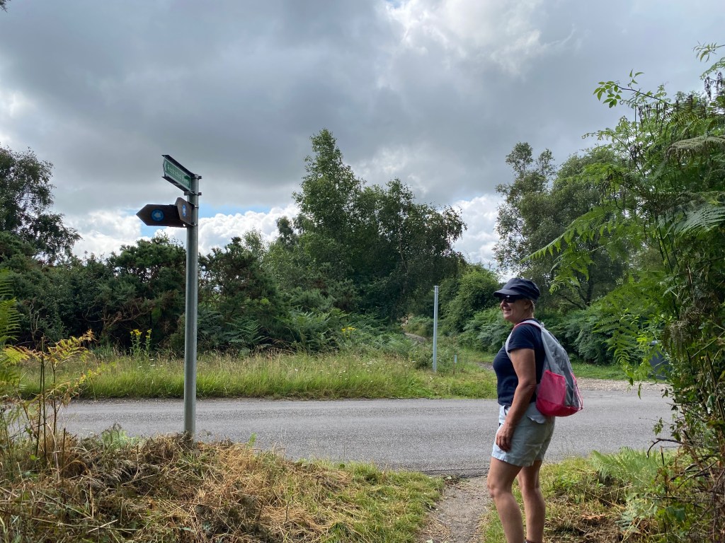
This 3.5 mile walk begins at the parish church in Blakeney. With the church on your right, walk the short distance to the main road, cross this and turn right to walk along the path alongside the busy road.
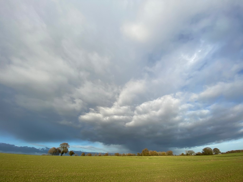
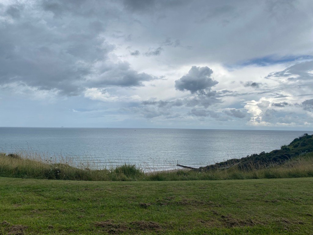
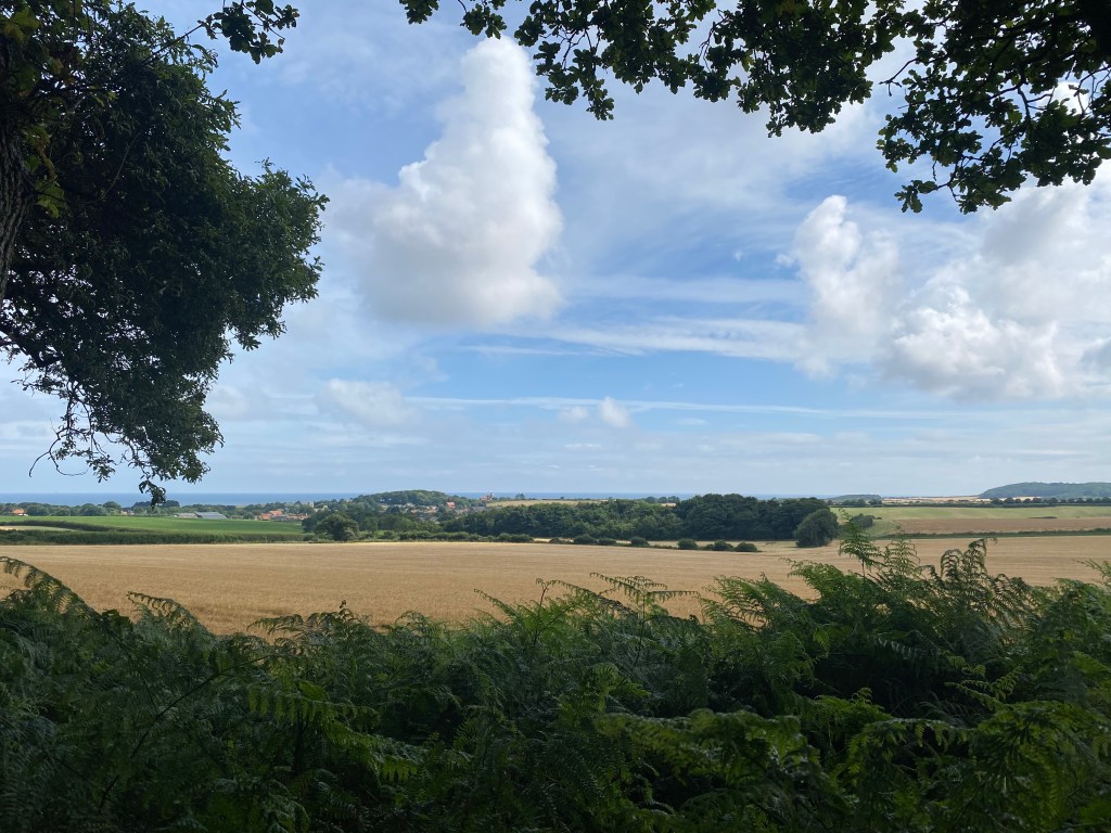
This road is more like a race-track in the summer, so do be careful, but as you walk down the hill towards the village of Cley, the hedge gets lower and you are rewarded by a lovely view down to the sea.
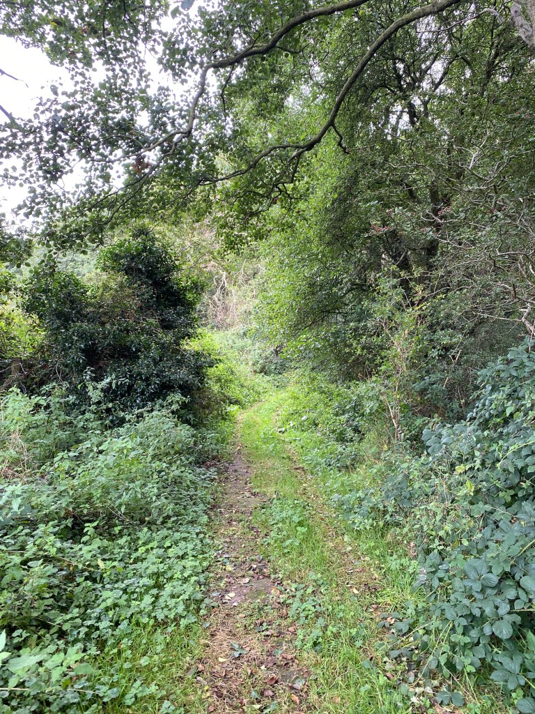
Follow the footpath until you see a road branching off to your right and a path heading through a wood alongside the road. Cross over and take this path.
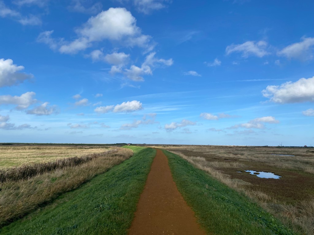
The path takes you safely past the fast road and, emerging from the woodland, keep on the right and continue until you see the the bank rise up on the left and Cley windmill dominating the skyline. Cross here and join the footpath straight ahead.
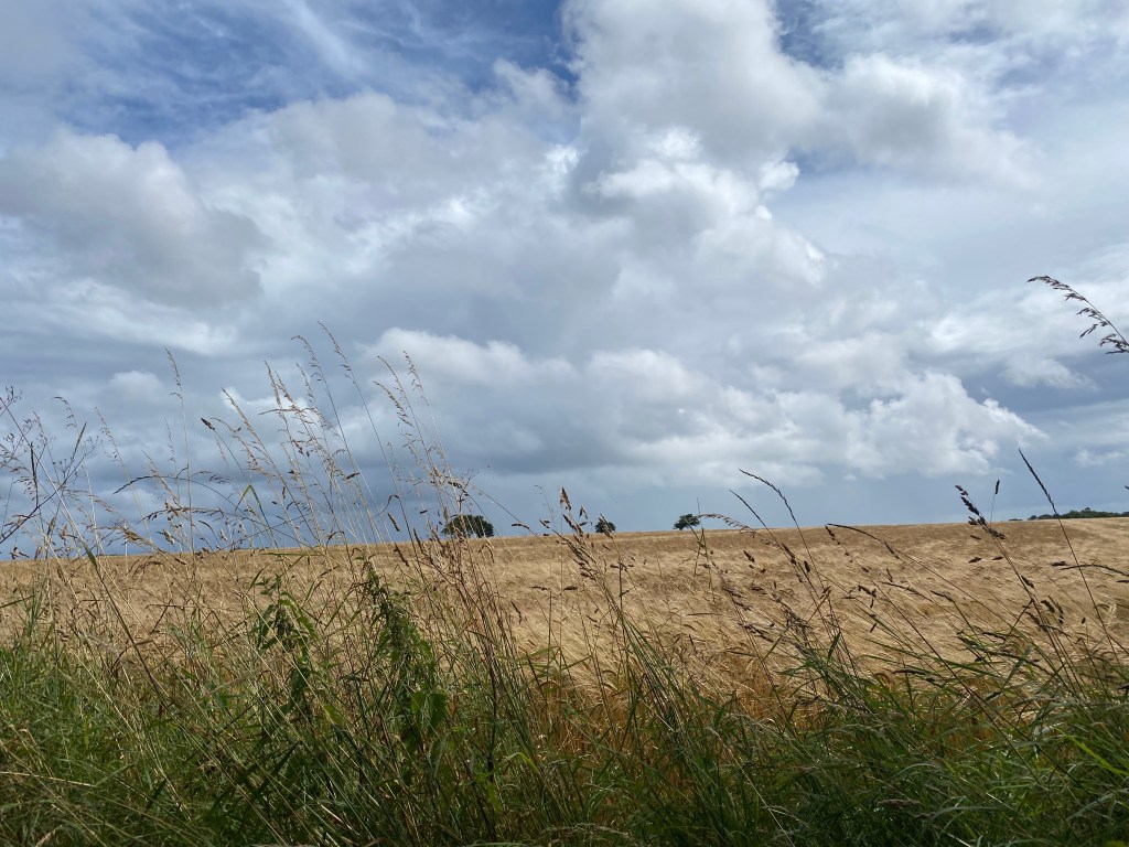
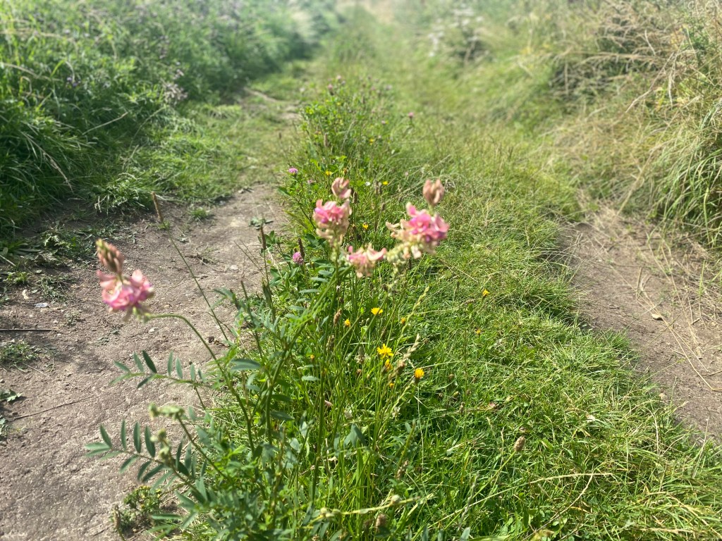
The sound is the thing on this stretch of the path. Norfolk Reed (Phragmites australis) grows alongside the footpath and when the wind is blowing through the dry stems, the noise is fabulous.
After a few minutes walking you will see a path branching off to your right, down a small slope, and heading towards the sea. Take this and now just park your brain. All you need do is follow this path in a wide left-hand loop as you circle out over the marsh and then in, via the village of Blakeney.
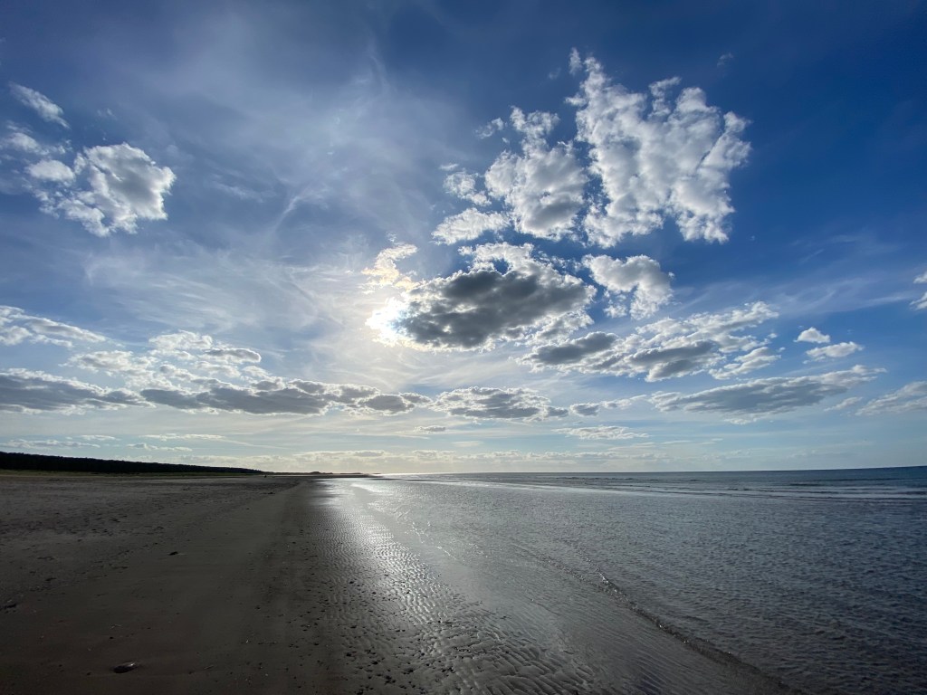
It’s a great place just to walk and walk on the orange shingle path and let your mind go wherever it wants to. All you have is the sound of the sea and the birds.
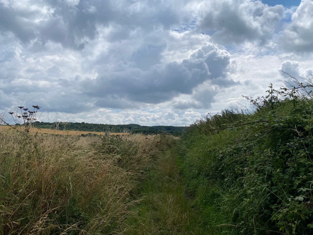
The path will bend around to the right and you will be walking between the sea and meadows. I’ve watched Kestrels hunting on these meadows and Red Kites lazily float above you, Pink Footed Geese honk overhead and groups of Knot take to the sky on the seaward side. The air can be a swirling mass of wings and calls and, with the biting wind coming straight at you across the sea, you can be nowhere else in your head apart from where you stand in that moment. Feet firmly on the marsh. Head freezing in the wind. Eyes looking out over the channel to the North Sea beyond.
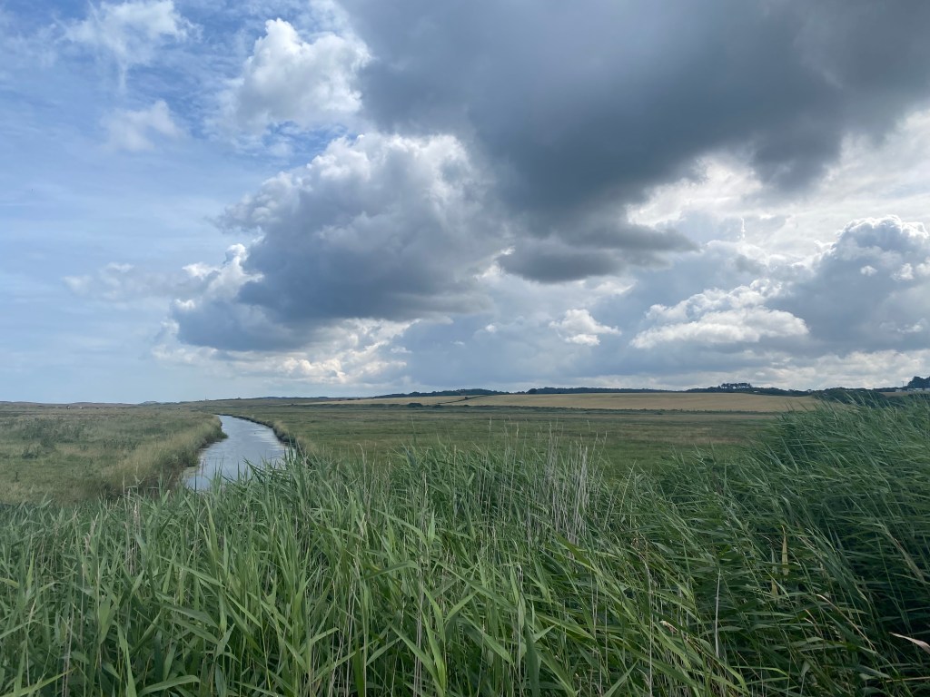
You cannot have ideas of grandeur as the Norfolk sky makes you feel like an ant. Getting away from others make you face who you are and you have two choices – accept it or try to change. I’ll come away from the marsh with a clearer head, a sense of place and a sense of resolution. Social chatter and competitions do not matter on a saltmarsh. Birds do. The tide does. Greeting a fellow walker does. That shared look when the wind is whipping across the marsh like knives and it’s hard to catch your breath. One look at a fellow walker is enough and you have shared that moment on a equal level. No one cares if your car is an Audi or a you came on the bus, you can be ten or one hundred, have the best walking clothes money can buy or are in the first thing you grabbed as you left the house. It’s a great leveller on the marsh.
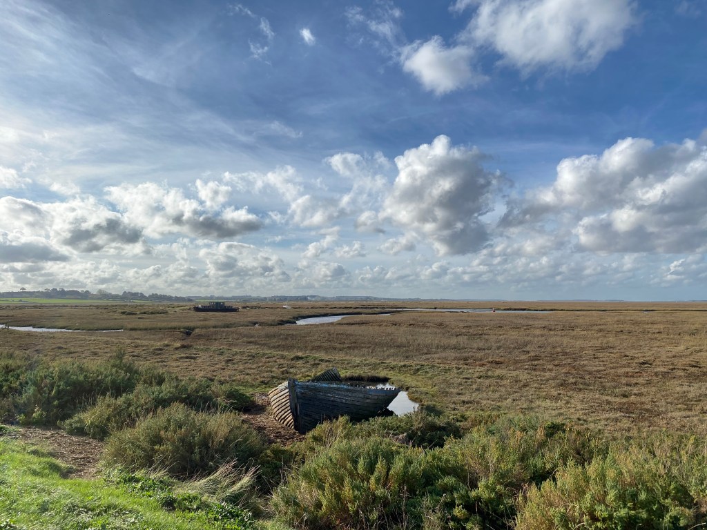
The path bends to the right again and you are heading straight into Blakeney. On your right will be the waymarker of the old boat, sitting on the right of the path. She loses more timber each year but feels like an old friend when you pass her.
Keep on the path until you come to the car park. Negotiate your way to the street dead ahead of you and walk up until you come to the main road. Cross this and you are back at the church. My head is usually clearer by this time. I hope that yours is too. Solvitur ambulando, my friend.
Not quite the Flatlands of Norfolk
I had expected the countryside around Mattishall to be very flat in a Noel Coward fashion, and very plain. I was very wrong indeed.
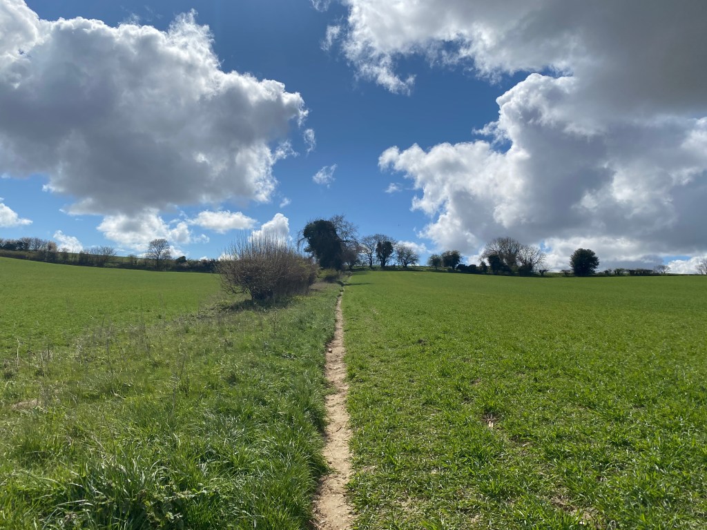
Jane planned this 6.7 mile route as a circular walk beginning and ending in Mattishall and it turned out to be a hidden gem. Find somewhere to park in the village – near the church is a good spot – and head north. As you head out of the village you will come to a crossroads with meadows either side ahead of you, turn right and follow this road to the lovely church of Mattishall Burgh.

Walk straight through the graveyard and you will see the footpath running behind the church. Join this and turn right. This is beautiful grassy footpath crossing glorious open countryside.
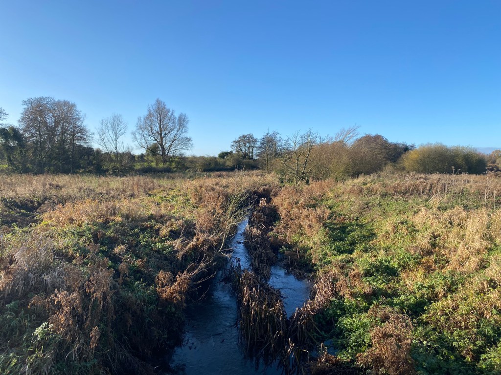
Keep following the footpath until you come to the road, turn right and follow this it as it leads down towards the River Tud. The Tud rises to the south of East Dereham and flows for 17 miles until it meets the Wensum at Hellesdon. The part of the river you will now follow is lovely. It runs through wetland and woodland and, although the path was tricky when we walked it after heavy rain, it was easily passable with only a small element of mild peril.
Cross over the river at the road bridge and take the footpath to your right.
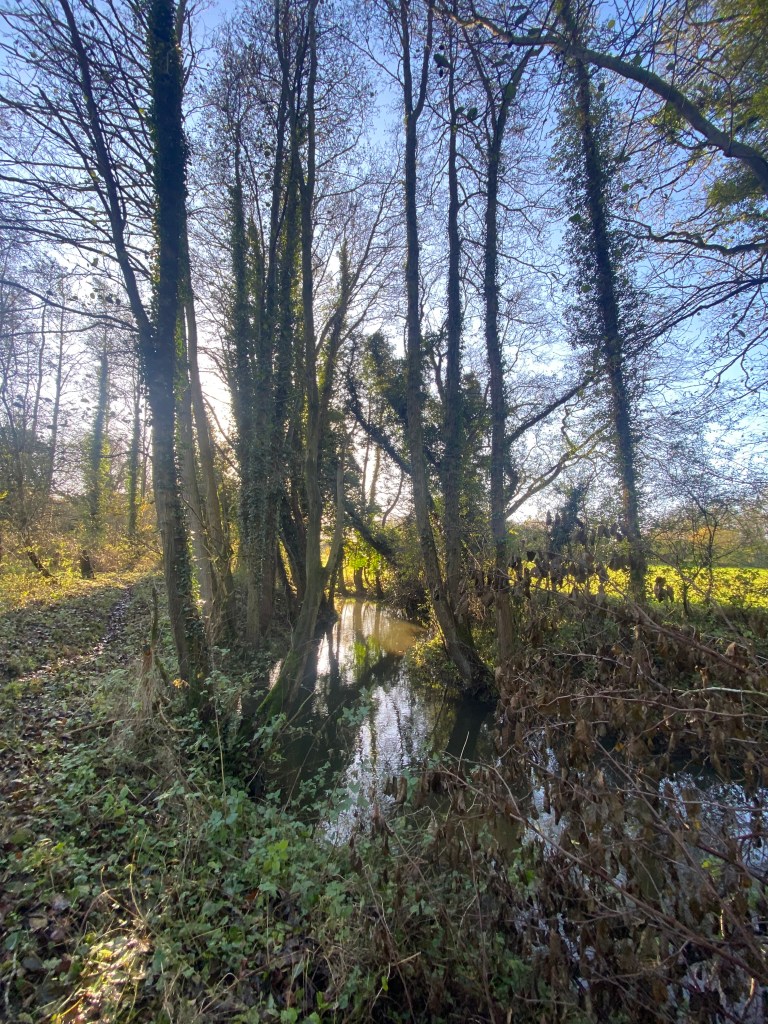
I loved this part of the path. The water was tinkling away on our right and the low winter light filtered through the branches of the trees. It was so peaceful and felt that we could have been walking there in any point of time and not in COVID-ridden 2021.
The footpath will have a spur off to the left, over the river. Take this, crossing the river and a drain, and after the footbridge turn left again and follow the track. We passed between a hedged lane and were lucky enough to spot a male Sparrowhawk sitting on a fence post. We stood still and watched as he lazily flew off and began to hunt on the field margin. We kept with him for quite a while until we turned a corner and the path opened up.
We had bright, clear skies to the right of us, and to the left, wetland. I just love wetlands. For me, they are the between-worlds, liminal places where not only the landscape is different but they way you move around it has to change. The unspoken contract you have with the earth is broken here and what appears to be solid could rapidly sink if you have not read the plants correctly. The plants themselves have a voice. Deep in a reed bed, surrounded by the sound of the wind chasing through the stems, you feel part of a living, breathing entity and it’s a wonderful, immersive experience.

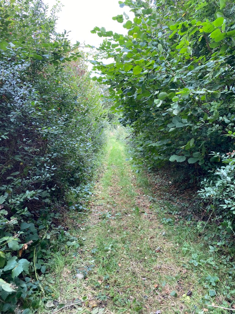
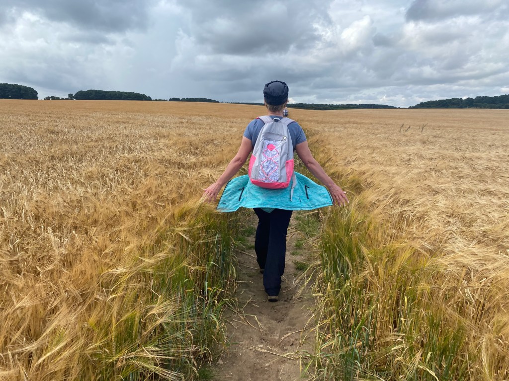
This footpath becomes at track at Willow Farm and you follow it until it joins Church Lane. Turn left for a few paces and you will see the footpath going off to your right. The skies really open up on this part of the walk and we had to cross one of my favourite kinds of path – a cross-field track. Most farmers are absolutely fantastic at making access to walkers easy on these paths but, at the risk of sounding like a broken record, do stick to the path -and if you need to walk in single file to cross the field without treading on the crop, then do so. Yes, I’m a farm-workers daughter and old habits die hard!
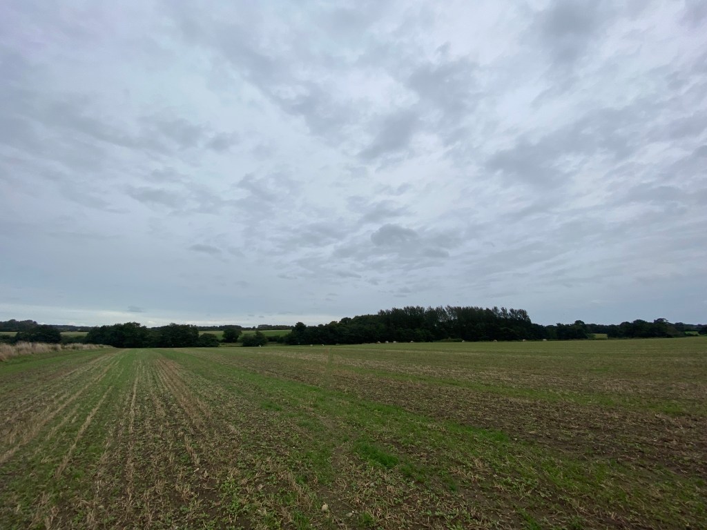
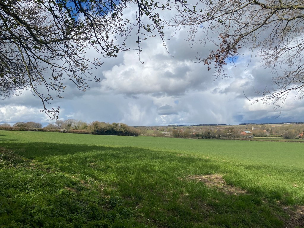
The path skirts around the west of East Tuddenham, crossing the Mattishall Road and continues across the farmland until it hits Common Road. Here turn left for a few meters and then join the path again on the right. This part of the path is a broad track between fields with stunning views across the farmland. A heavy band of cloud was sitting off to our right and seemed to touch the ground such was its weight.
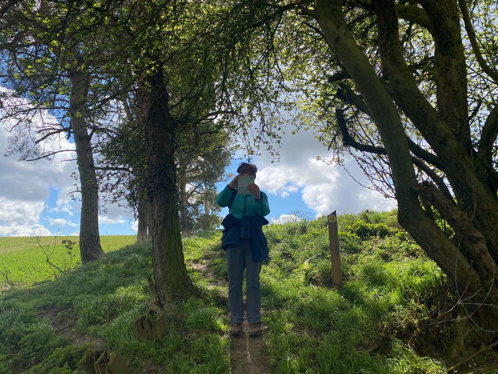
Keep on this path and cross over Church Lane, and then New Lane. Yet again, as not overly tall people, Jane and I found a stile which had obviously been built by someone over 5’4″…
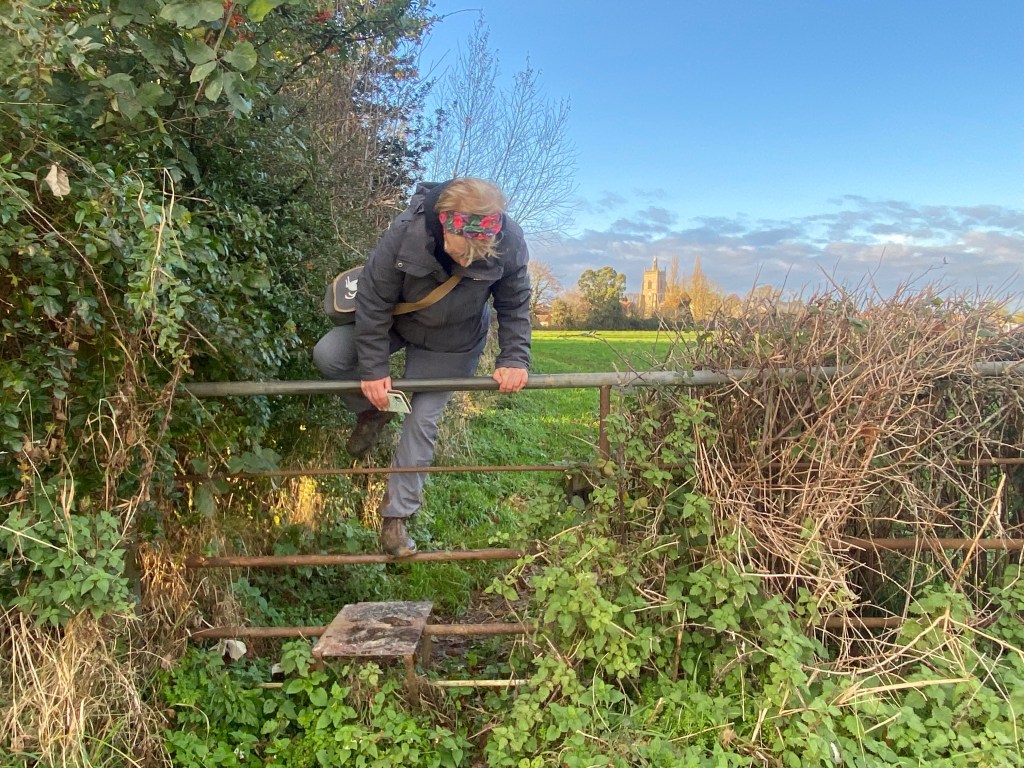
You can see Mattishall church in the background of this photo as Jane elegantly clambers over the stile. To get there, follow the footpath until it joins Mill Street. Turn right onto that road and it will take you back to the church.
We reached our car and began to drive out of Mattishall – and then something absolutely magical happened. Low to the road a Red Kite swept in front of us and slowly moved across the field opposite. It was so near you felt you could hear its wings. Utterly beautiful.
Saltmarsh, Starlings, almost a Sea Plane and an Iron Age Hill Fort
It would take a stony heart not to love saltmarsh. Add in a murmuration of starlings and an Iron Age hill fort completely to yourselves and this 8.5 mile walk is perfection.
Find some parking in Well-next-the-Sea. Yes, I know that this can be very difficult indeed sometimes, but it is easier in the winter – trust me. From your parking spot, walk down to the harbour and, facing the sea, turn right and follow the road along the edge of the water. Pass behind ‘Shipwrights’ with its lovely bay window, where Jane told me that her dad, Frank, lived close by for a while after the war and was an inaugural member of the Wells Sea Plane group. They never actually acquired a sea plane – but the thought was there. I find this fascinating as Frank was German – a prisoner of war – and stayed here when the war ended after falling in love with a Norfolk girl. A sea plane can bridge many chasms and a longed-for, but imaginary sea plane, can work miracles.
The road leads you past the running moorings and turns into a track past the mussel sheds. Pass the harbour compound and take the Coastal Path towards Stiffkey. Suddenly the sky will open over the marsh and you get a whoosh of space and light.

It was along this part of the path we had a wonderful encounter with a huge flock of starlings. We heard them before we saw them, chattering away and occasionally leaping up from behind a hedge and hiding back down again. The very ground behind the hedge was alive with birds and, as we neared them, they rose and streamed out across the path and onto the marsh.
Keep an eye on your map as you walk along here as you are looking for a disused pit. No, not the disused pit you first come across, but the one further along the path that leads down to Cocklestrand Drove. This is a lovely green lane heading away from the marsh and inland, towards Warham.
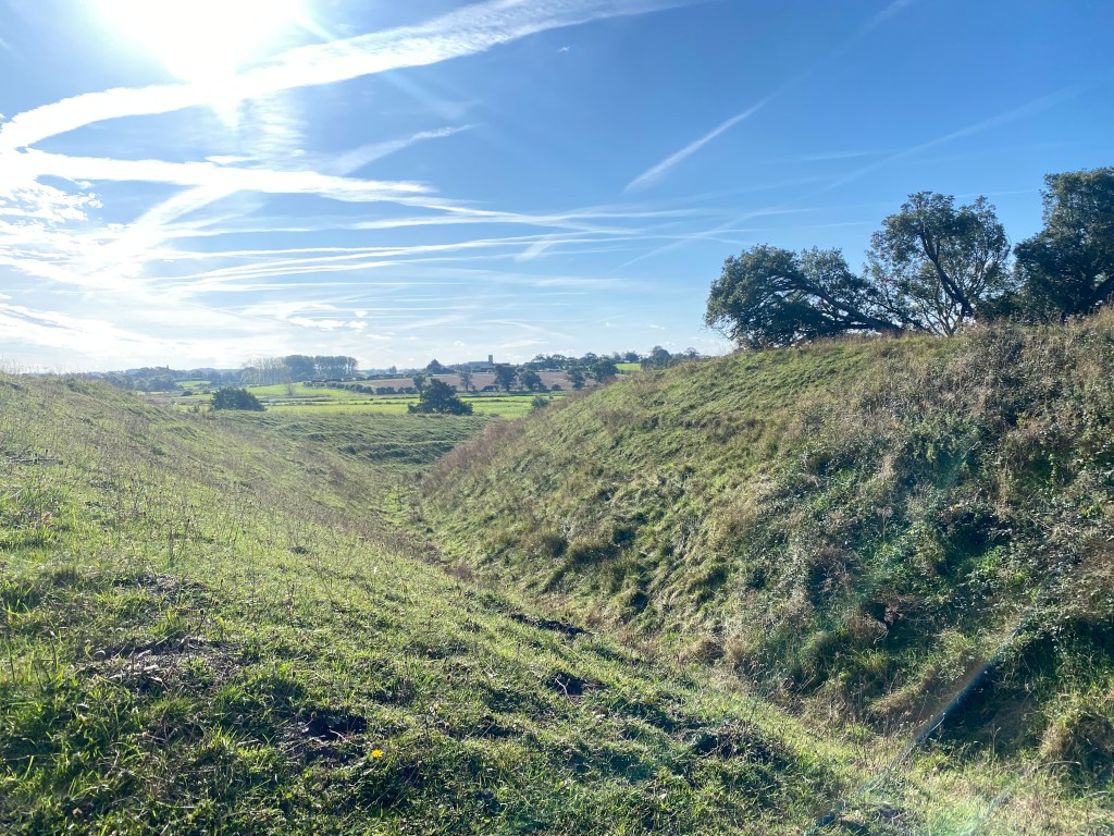
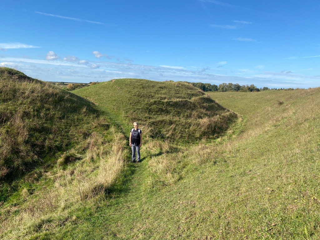
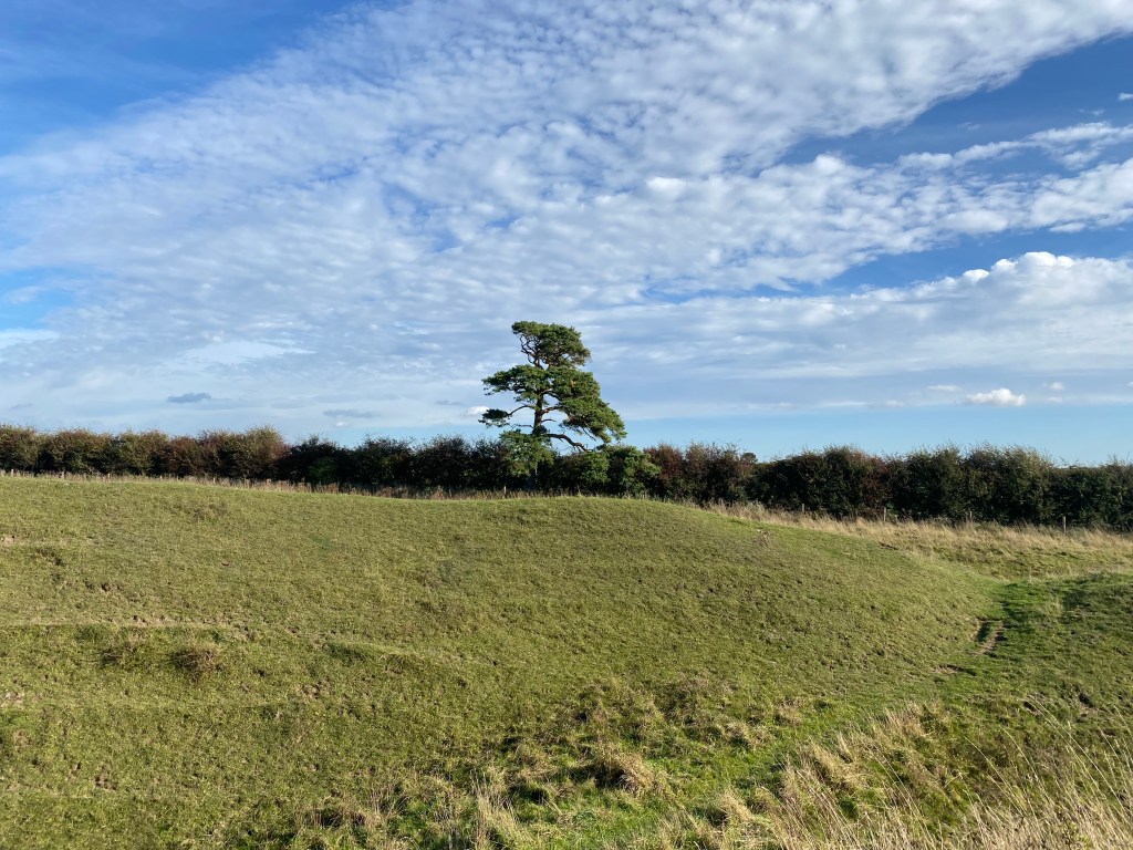
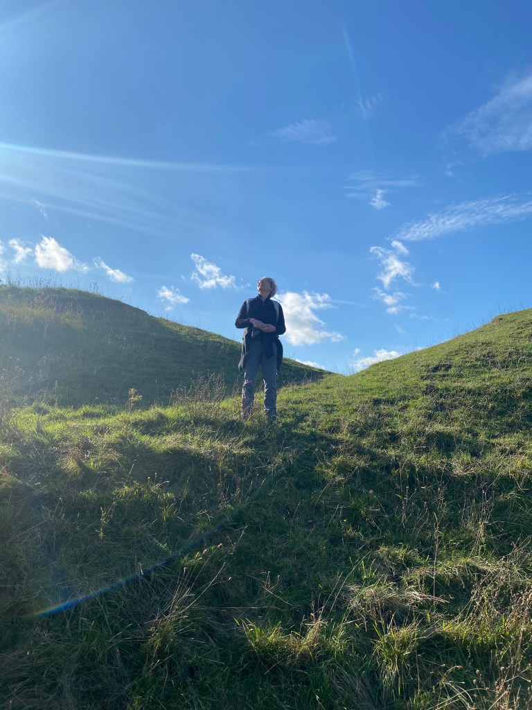
Follow Cockleshell Drove as it hurries between fields. There are some lovely views to the left and right as you walk along this lane. Keep walking until you come to a road. Pass over a road and the lane becomes tarmac. Follow this (now called Stiffkey Road) until you come into the village of Warham. You can, if you are weak and have no love of history, turn right and continue on the path. If, however, you still have the sense you are born with, go straight across this junction, past the little church, up the hill, down the hill, over the bridge and then up the other side of the hill. Keep an eye out for a lane on your right near the brow of the hill with a gate across it and a stile. This is the entrance to Warham Camp. You are quite correct in assuming that the lack of signage is deliberate. There is only one interpretation board when you arrive at the site and absolutely no boards telling you not to throw yourself down the steep banks, deliberately break your ankle in a rabbit hole, or lay yourself out and wait for the Kites to take you here. It is not like so many heritage sites and, if you injure yourself, then it is your own fault. We do not molly coddle in Norfolk.
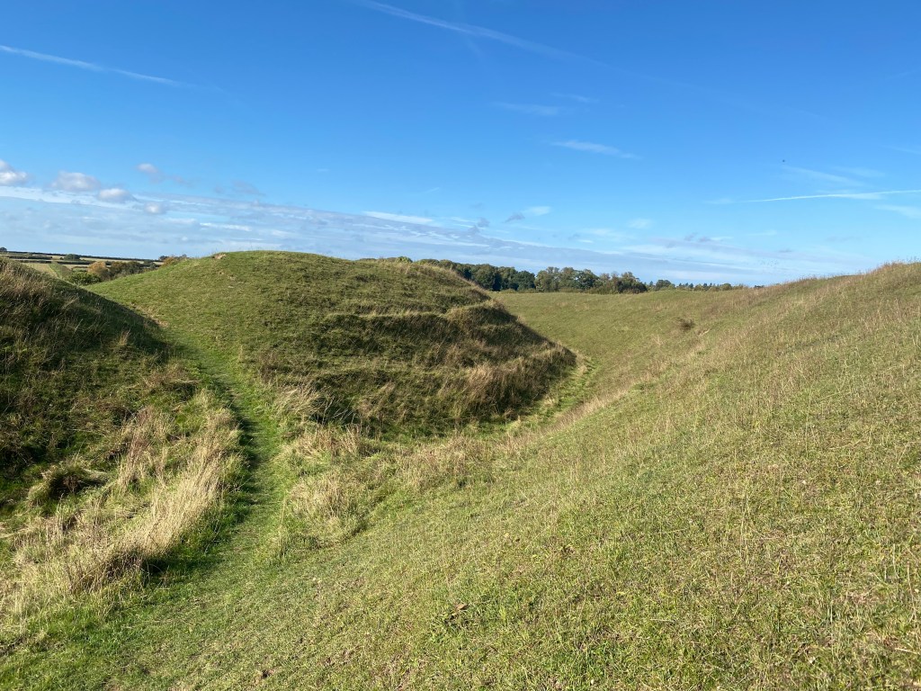
Warham Camp is spectacular. I’ll not put a lot of information about it here as you need to feel it and not my impression of it. It is one of my most favourite places I’ve ever been to and, as well as being an archaeological site of huge importance, is a wonderful place for wildflowers and nature. Trust me on this. Just go there, walk through the entrance across the ditches and take it all in.
When you have taken your fill of the Iron Age, head back down, across and up again into Warham and turn left along the road through the village. On your way it is utterly worthwhile to stop at the little church of St Mary Magdalen. It is simple and very beautiful.

From the church continue along the road until you come to a t-junction with a field in front of you. Turn left and walk along the verge of the road. This is a busy road and trust me, stumbling along the verge is much better than being mown down.
Look for a wide path on your right with a sign for a railway and take this. Here is where the mild peril comes in. No walk is complete without a hint of danger and I may be building this up a bit too much. You could very easily outrun the Wells to Walsingham light railway – even a crippled mouse could outrun the trains here – but there’s always a chance you could get caught out. Cross the railway line and continue along the path.
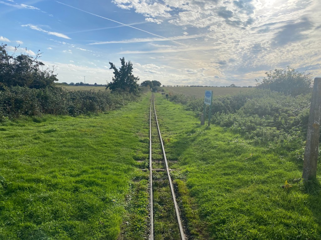
This is a lovely, easy walking track. The fields are glorious to the left and the surface is very easy to walk on. It was a sunny autumnal day when we did this walk and the light was that diffused golden and very beautiful. There were still blackberries to be eaten and butterflies flitting around and the hedges were alive with birds.
You will come to a junction in the tracks – Gallow Hill. Take the path to the right.

This is a lovely golden path with untamed hedges at the time of walking, which oozed wildlife. You are now heading back towards the sea. Follow this path into the centre of Wells and back to the beginning of the walk.
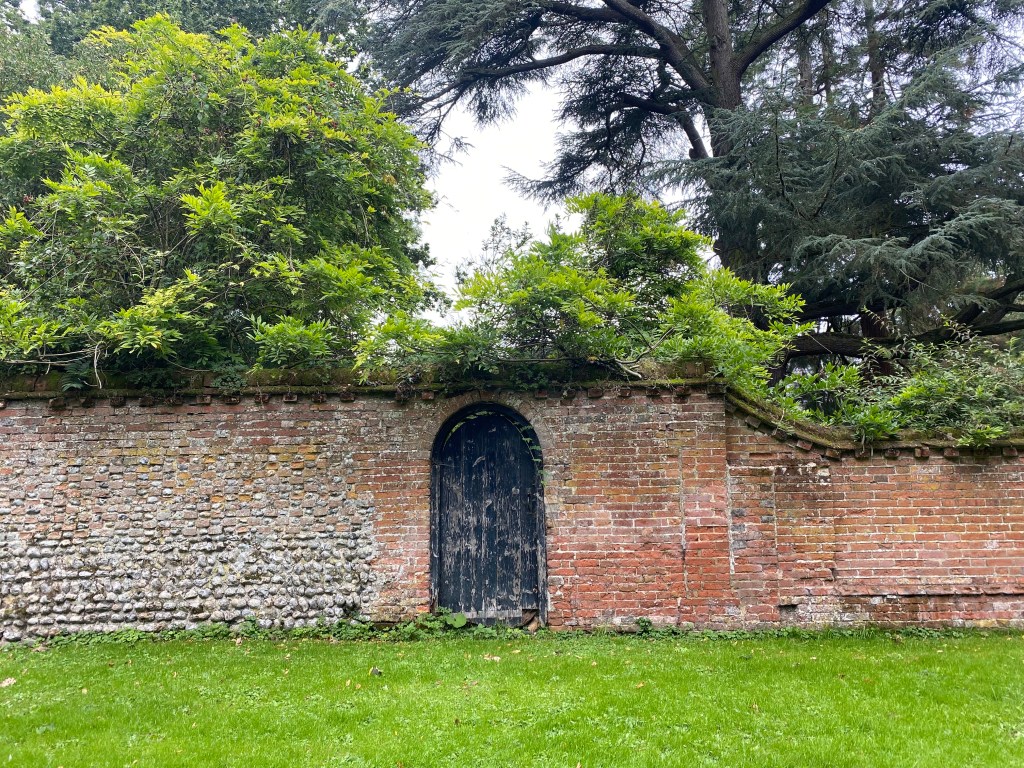
Red Kites, a mysterious chapel and perfect lanes
It’s something we all dream about, isn’t it? Well, those of us who have read our Famous Five and then progressed to Agatha Christie via Dennis Wheatly (thanks Dad)… You have crossed a field and are following a lane which grows more and more narrow. The sides close in and the path grows darker. A shape looms through the foliage on your left and there, in a sunlit clearing, is a ruined chapel of St John the Baptist. Who could resist?
This is a 7.33 mile walk across fields, a few stretches of quiet road and some beautiful lanes, finishing with a stretch through atmospheric woodland.
The omen for a good walk could not have been clearer. As we approached Fulmodeston on a narrow road the unmistakable silhouette of a Red Kite hung over the hedgerow. We stopped the car and just watched her, lazily drifting higher and higher and then, with a barely perceptible flick of a wing, she was off over the wood. I’ll never find seeing a Kite commonplace. They are such beautiful, elegant birds that they take the breath away.
Find somewhere unobtrusive to park in Fulmodestone and set off down the Stibbard road. You will see a small road lead off to your right and opposite it a lane with the new ‘Walsingham Way’ marker. Take this path.
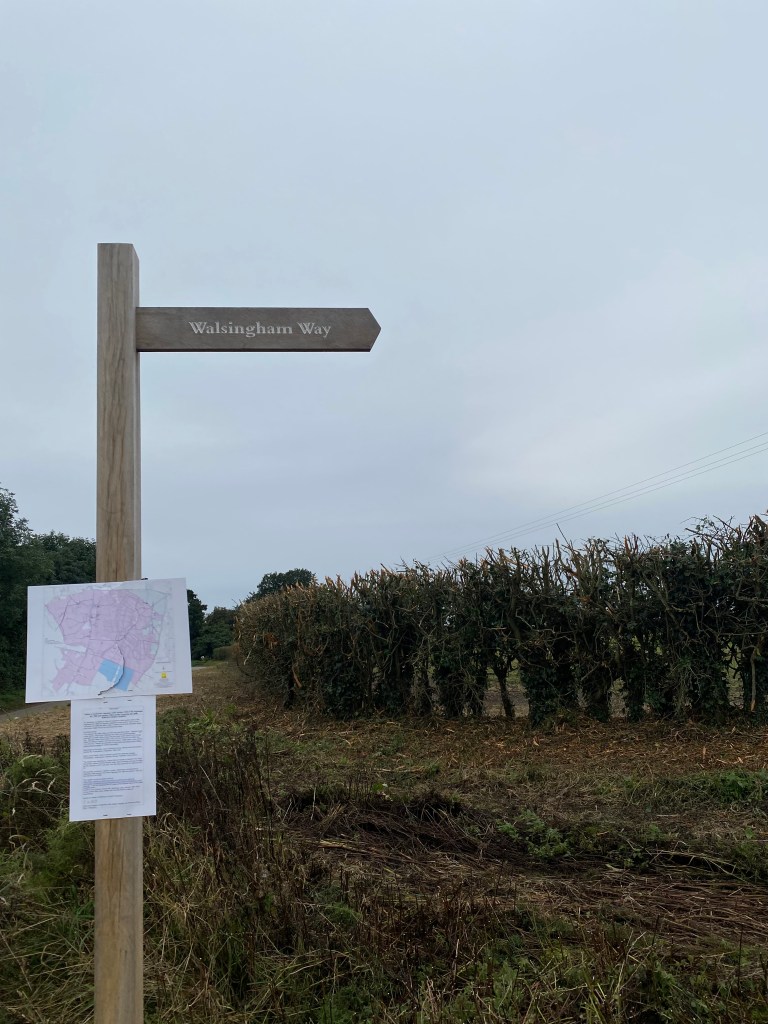
The Walsingham Way was launched earlier this year and covers some glorious Norfolk countryside on the way to the Shrine in Walsingham. Follow this lane (Back Lane) as it heads towards Croxton.
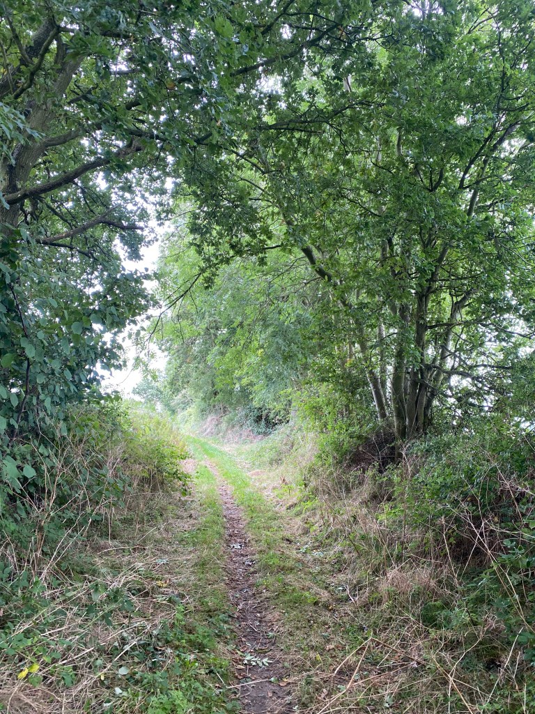
The lane will narrow as you approach Croxton and, at the time we walked, the trees overhead were touching, making you feel completely cut off from the world. We were suddenly conscious of a shape on our left, and glancing across, saw the unmistakable outline of a chapel across a sunlit clearing. Not wanting to push through the hedge (I know – not our usual style at all) we followed the lane around the clearing and came face to face with the most perfect door! We were deep in Tom’s Midnight Garden territory.
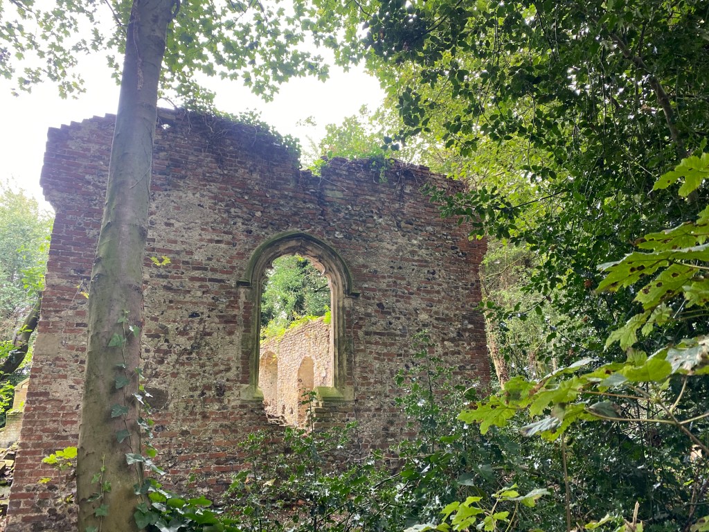
Turn to the left and you will see the ruined Chapel of St John.
The site of a Domesday church with standing remains possibly dating back to the 11th or 12th century. The east window dates to around 1300 and the remaining windows to the 15th century. A possible tower was replaced by a 17th century western extension to the nave. The building used to be the parish church of Croxton.
Norfolk Heritage Explorer. Full listing here.
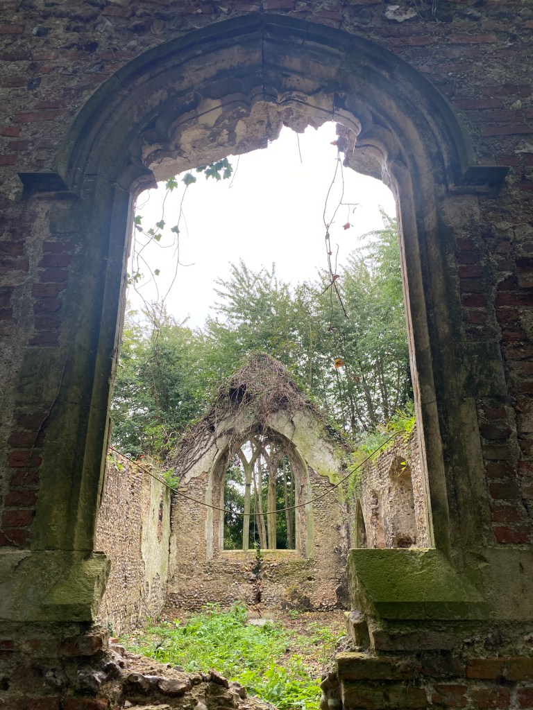
The whole site is very, very atmospheric. Surrounded by trees the light is diffused and the buildings and graves seem to grow out of the earth, rather than being imposed upon it. Wildlife is reclaiming the churchyard with bird boxes in the trees and much activity in the hedgerows.
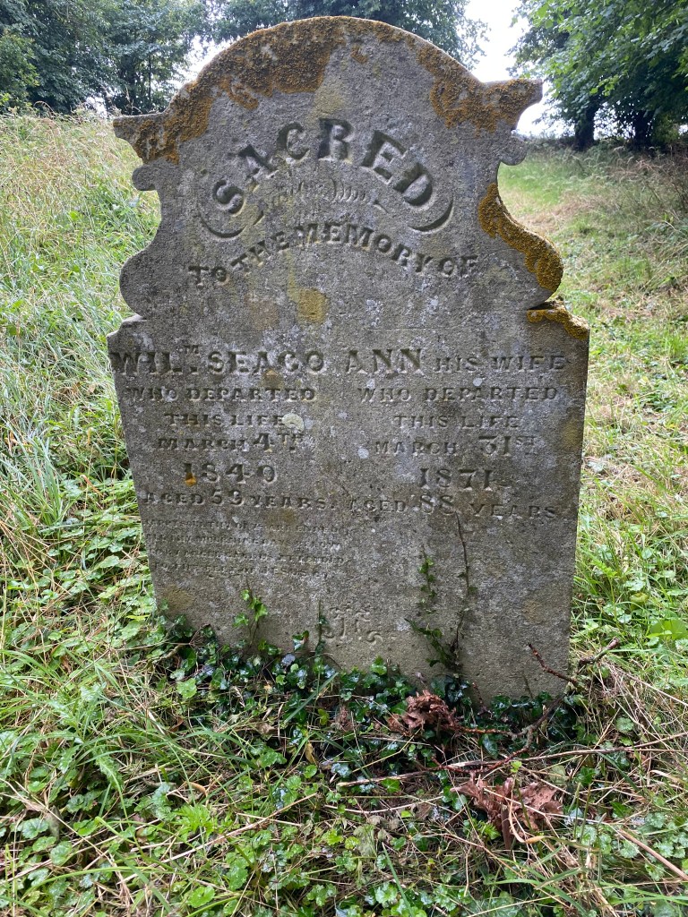
Take a close look at the gravestones if you have time. There are some very maudlin and slightly bittersweet epitaphs in there. We were particularly moved by a 27 year old mariner, James, whose grave read:
With pain and sickness wasted to the bone
Long time to gracious Heaven I made my moan
At length the Lord unto my cry gave ear
And sent kind death to ease my grief and care
I lore (learn) my poor withered body must remain
Till God through Christ shall make me bloom again.

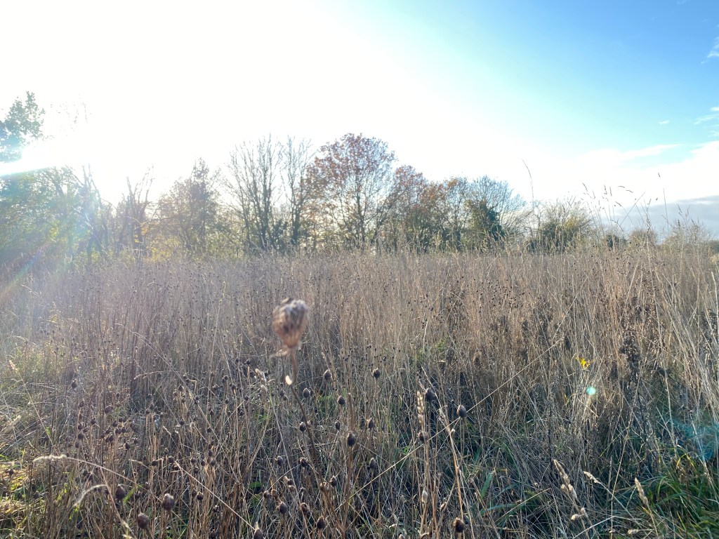
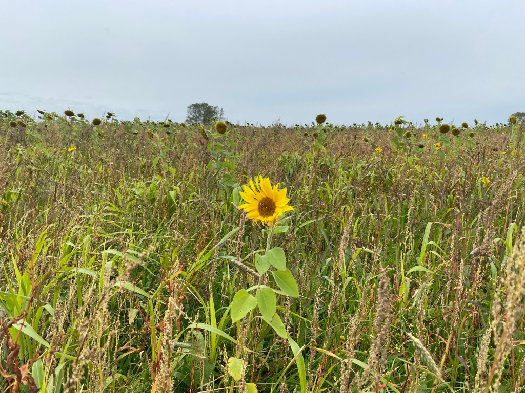
Leaving James and the chapel behind we turned left and followed the path along another lane until it opens up into fields. At the time of our walk the field was planted with sunflowers. They were past their best and just nodding brown seed-heads, interspersed with wild flowers – but a few patches of colour remained as ghost of the field would have been in high summer.
Take care here and check your map as, although the field boundary carries on in a straight line, you need to diagonally cross the field, heading towards the buildings (Clipstone House) you can see on the horizon. There is a maker for this but oddly it is placed in the middle of the field!
Cross in front of the farm at Clipstone House and take the branch of the path to the right. Although not a road as such, this section of the walk is on a dry gravel path. Keep looking up and listening for the unmistakeable call and silhouette of the Red Kites. We watched one hunt over a maize field for ages. They are hypnotic in their movement and we could not move on until she had left first.
Cross over the Snoring road (not literally – Snoring is a village, not an action) and follow the footpath as it begins its descent towards the stream at the bottom of the valley.
Cross the stream here on a lovely little wooden bridge, walk straight across the grassy ride and go through the five-bar gate in front of you, making sure to shut it behind you. I have to type that. I would gladly not do it but it’s a habit when you live here. The amount of people who do not check that gates are fastened is staggering and I would hate to have to hunt you down.
I just loved the next stretch of lane. It was absolutely everything you would want from the chance to stop and eat blackberries every other step, to bright red rosehips and at one point, a cloud of sparrows flitting across the path.


You will now come into the village of Barney. Turn left as you meet the street and just past the church and vicarage look for the footpath on the right, snaking between the new development and older houses.
I’d seen the word ‘moat’ on the map – and obviously was fascinated but not too excited as so many of these moats have been ploughed out and not even a ghost mark remains. This was totally different. Walk past the sewage plant (not the moat in question) and into the next field and there it is. A complete moat, bank and platform.
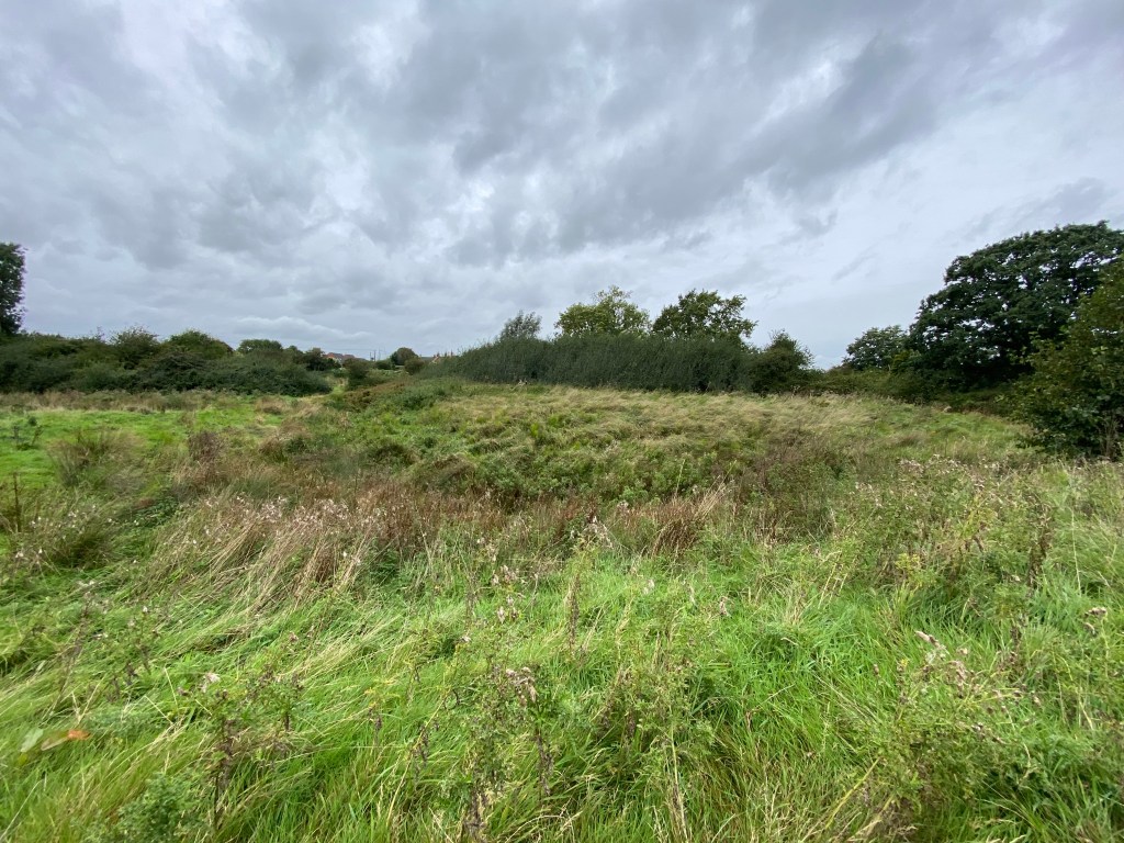
I am lucky enough to have a archaeologist/medieval historian on speed dial (Molly, my daughter, who can be found at @HistoricalMol (all medieval Latin translations considered – not text too undefinable!)) who, as we FaceTimed her to show her the landscape, was researching for us. She told us that this moat probably survived because of the Boulder Clay content of the soil which stopped it entirely drying out. Roman building material had been incorporated in the church at Barney and a number of fascinating finds had been unearthed around the area. More to read here. The wetland that the moat site occupied was lovely. Completely unassuming but with a real sense of the past being present. There were so many species of flower and grasses in the meadow surrounding the moat and, standing with your back to the moat and looking across the meadow, you really felt that you could have been there at any point over the last few centuries.
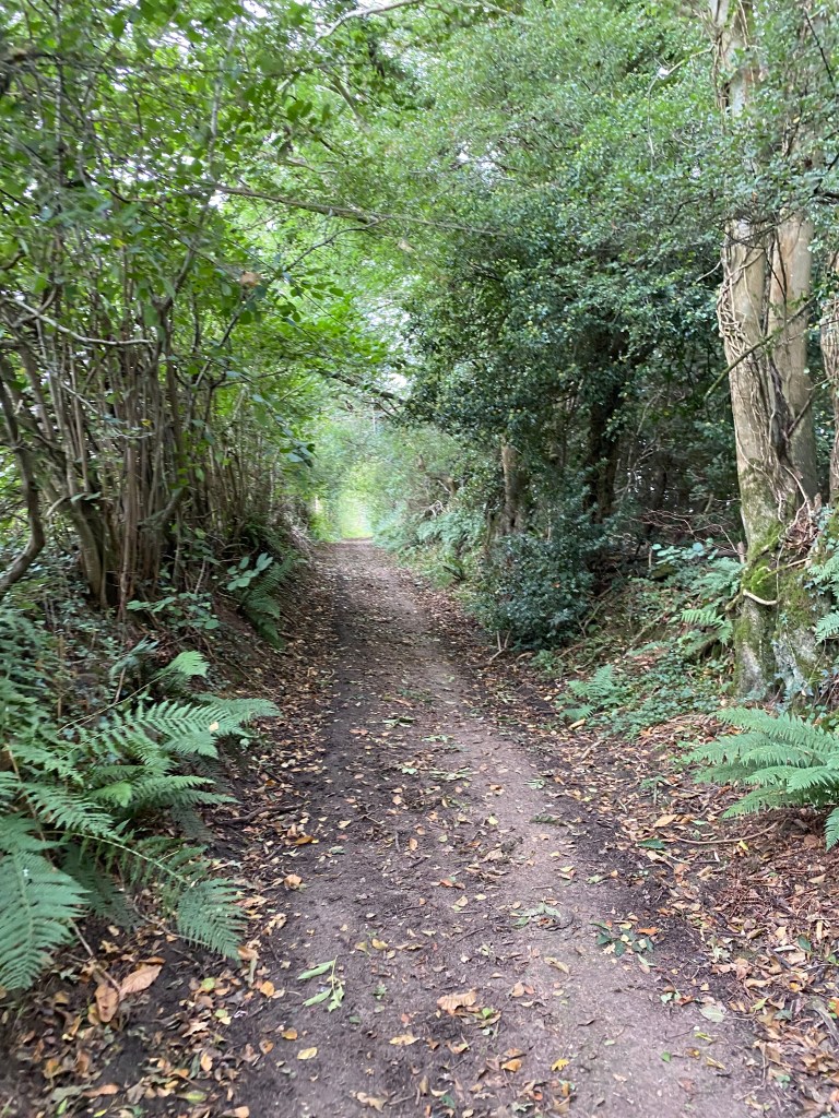
Head to the top right corner of the field and join Little Barney Lane. The lane takes you down to the most lovely path that runs along the woodland at Swanton Novers. As we entered the path it began to rain and we just stood and listened.
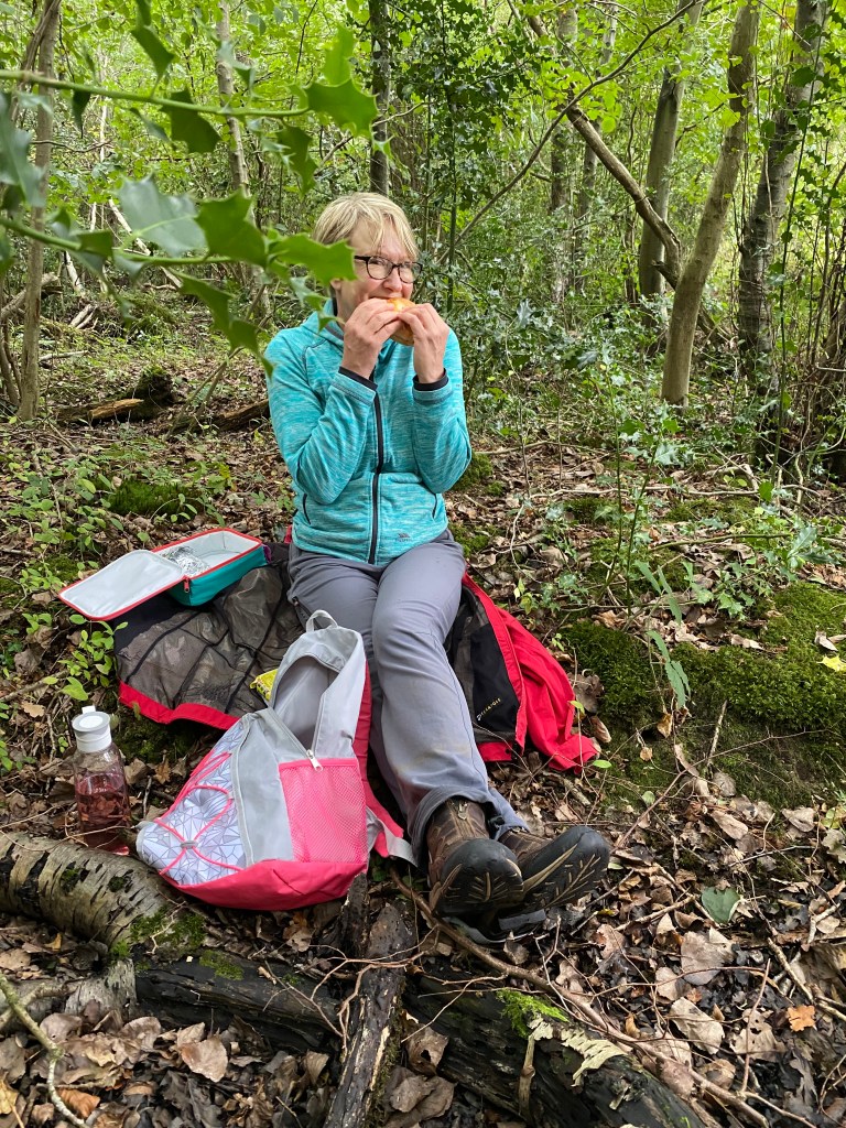
It was getting near lunchtime and the rain was coming down harder now and so we took a couple of steps from the path and down onto the woodland floor. Just taking yourself down a level and picking more dense tree cover will take a lot of the rain from you. We each found a log and sat, like slightly damp pixies, eating as many combinations of cheese as humanely possible. The cheese fest is growing with each walk and competitive cheese-eating is now a real thing.
We were joined at one point by a bewildered spaniel looking down on us from the path, quickly followed by its owners who looked slightly startled to see what looked like a couple of short tramps slumped in the undergrown, perfectly happy in the rain.
Follow this path out of the woods, over the field, past the church and then down past the Old Hall Farmhouse and back into woods, heading across the central path. It is all clearly marked.
It was raining heavily as we reentered the woods. Someone had a fire going and the smell of wood smoke surrounded us. The canopy of trees were shushing above us and the rain tick-tocked over the leaves and fell into the forming puddles. Our feet, at first making that hollow thwump on the path, gradually became silent as the earth grew more damp.
Woodland always seems to have magical names that resonate: Neat’s Close, Brown’s Covert, Swanton Great Wood… the names alone draw you in to a different world where the outside, frantic, busy lives do not exist at all and the only things of importance are the trees, the earth beneath your feet and the wildlife around you. I find that whatever the week has held it all drops away when I’m outdoors. That connection with nature is vital to me and I’d ignored it for many years. Coming back to it a few years ago was a homecoming – reclaiming a part of me that I’d forgotten existed – and now I can never let it go again.
You leave the wood at Barney Common and as you cross it, keep an eye out for the variety of species of grass and plants growing there. We need this diversity in our open spaces. We do not need manicured grass and severely clipped hedges – they are no help to man nor beast. Managed wildness is the way forward and so good for the soul.
Turn right and follow the road back to your car.
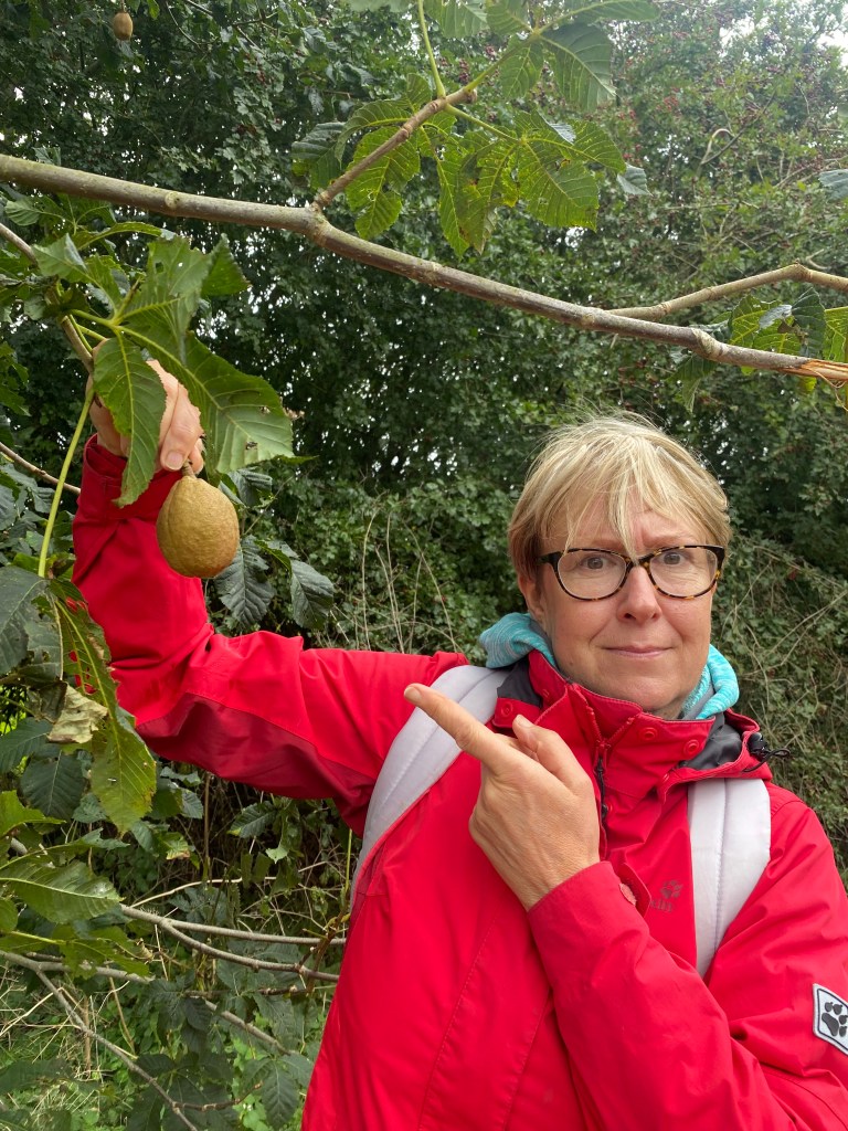
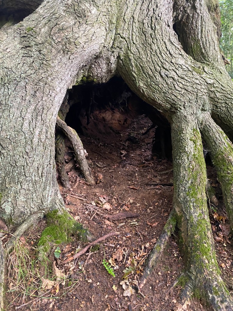
Sadly, as on all occasions when Jane and I walk, there is always a slight suggestion of smut. This time we managed to find a testicle tree. Obviously.
Overstrand circular walk
If you like sunken lanes, open farmland, a murky pool know as the Shrieking Pit and a mysterious graveyard in the middle of fields, look no further…
This 8.35 mile circular walk mostly follows a walk published by Norfolk County Council (pdf available here ) but with what dear Bob Ross would call ‘Happy Accidents’. Although I highly rate the OS mapping app, it does sometimes enjoy trolling me and faces the directional arrow the wrong way on occasions, resulting in my purposefully marching off the wrong way. This time the wrong way became the right way as a nonconformist graveyard was discovered and, by the wonder of citizen history and Twitter, the story behind the graveyard unfolded.

From the Pauls Lane carpark in Overstrand, follow the lane west until you pass Arden Close on the left. The next left will take you on a footpath which follows the route of the old railway line up and around allotments and climbing up towards the old railway station. This is now a rather lovely house but I always mourn the loss of any rail track. Pause at the house and invoke any demons you wish on Lord Beeching, and then follow the footpath as it dips into the trees and sinks.
The path winds it way across to the village of Northrepps. It’s very clearly marked and even Jane and I could not get lost on this bit. The lane becomes Toll’s Hill as you come into to the village of Northrepps, and, keeping straight on, Bull’s Row. Follow Bull’s Row through the village, all the time heading towards the church, and then turn right into Church Street, and then enter the church yard.
St Mary’s is a rather magnificent building and all the better for being in the village but bordering on fields. The footpath picks up on the other side of the church and so cross the churchyard on whichever side of the building you like the best, and you will see the footpath leading off into the fields on the other side.
I absolutely loved the next part of the walk. I’m a farmland junkie – cannot get enough of it – and I find walking fields and boundaries which have existed for years and years fascinating. Dr Max Hooper says you can date a hedge by the number of species in it using this formula:
The basic formula for dating a hedge is as follows:
Measure out a 30 metre length of hedge.
Work along the hedge systematically recording each woody species.
Repeat this process with two or three 30 metre sections of hedge.
Calculate how many woody species on average you find in your hedge.
Generally speaking, a new species is added every hundred years.
The Living History of Our Hedgerows: A Guide to Dating Hedgerows – Lesley Chapman, Brian Steffens (Illustrator)
Being a romantic and easily swayed person, I also think these old places have their own soul. The hedges are alive with insects and birds, branches criss-cross each other to add strength and there is a real sense of being in a timeless landscape. If all you looked at was the sky and landscape in front of you, it could be any point in the last few hundred years, and I find that glorious.
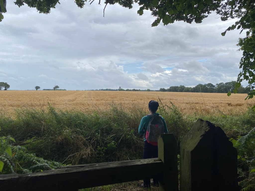
The footpath skirts the edge of the field, which, when we walked it, had just been harvested. Butterflies flew up ahead of us and there was a buzzard circling on a thermal.
Where the footpaths meet, ignore the very inviting path to right and turn left and then right, to a fabulous path which the farmer had very kindly marked out so well, that led across the unharvested field.
The sky was darkening as we began to cross. A cloud of swallows swooped low over the barley, picking up the abundant insects, and the crop moved like water on either side of us.
As you cross the field you will notice that an element of mild peril appears. Yes, a railway track! We had the added enjoyment of the rain now pelting down on us so hard that we were soaked through as we crossed the field and reached the track. If you have dogs, small children, or one of those kinds of people with you who like to play on railway lines in a comedy fashion, do take care here. This is a well-used track and the Cromer to Norwich line.
Cross over the railway line and follow the path as it borders Northrepps Aerodrome. The path skirts Winspurs Farm, and, keeping the barns on your right, pick up the track along a broad field margin.
You are now heading towards Southrepps and the site of our happy accident.
When the footpath meets the road, turn left and cross over the railway line, and then take the track which runs alongside the line on your right.
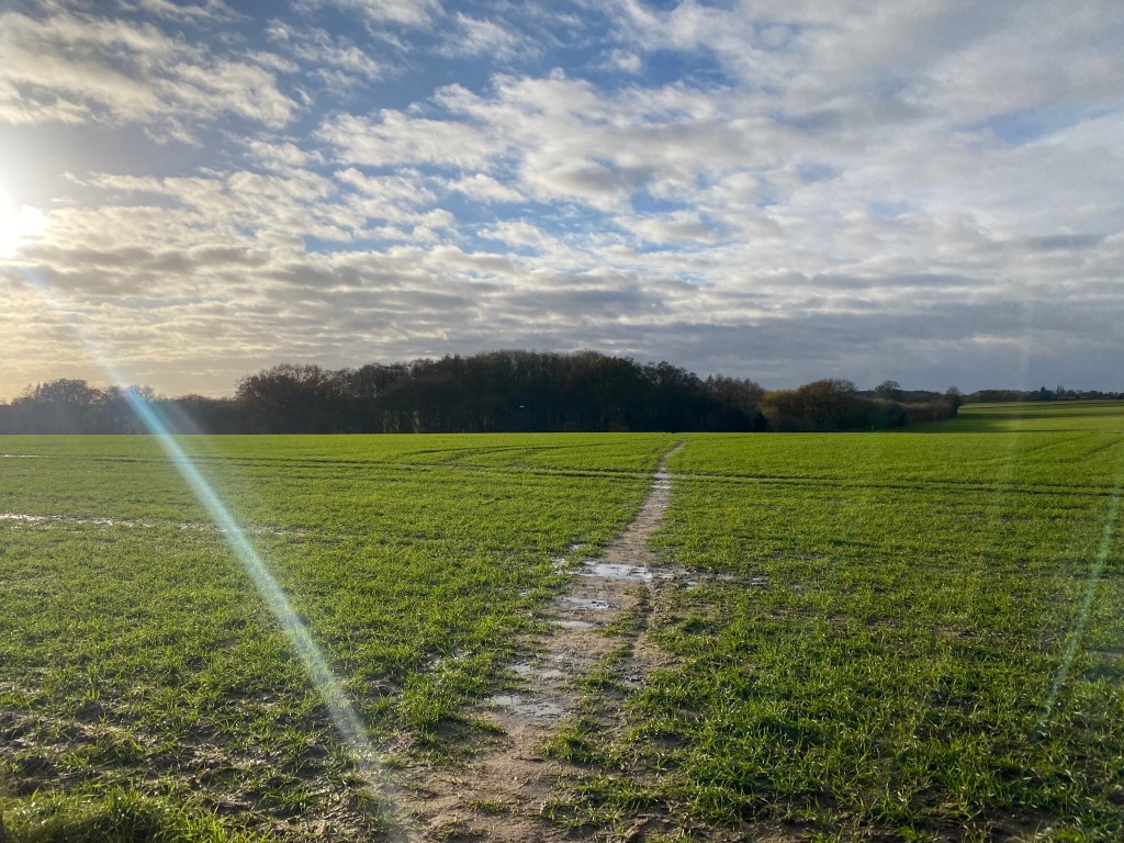
This is pretty stretch of path which, when we walked it, bordered fields waiting to be harvested.
You will now come to a junction with two footpaths and the railway line. If you are following the ‘official’ map, you will see that you should go along a path which goes slightly to the left. Ignore that, and take the track which leads abruptly left, almost doubling back on yourself and look for a gate in a tree-bordered field on your left. This is the happy accident.
Go through the gate and you will find yourself in a clearing surrounded by trees, with 19th century grave markers in the rear of the enclosure. Looking on the OS app the enclosure was clearly marked, but not with a legend. As the internet could not load large pages, I did what any sensible person would do and asked Twitter. Historians and map lovers responded and between us all, we found out that this area was a hotbed of nonconformism and that one of the three Methodist congregations in 1851 met in the house of the farmer James Carter. It was wondered if James Carter had gifted any land to the nonconformists – and when Jane and I looked at the headstones – there lay Mr James Carter himself. In his own land and his own nonconformist graveyard. Many thanks to the marvellous Simon Knott (@last_of_England), Steve of Norwich (@Beerlightweight) and Rob Foster (@cothelstone) for their help and expertise.


Retrace your steps to the railway line and this time take the other footpath. it is clearly marked and will lead you along a little lane, across a beautifully marked field path and into the village of Southrepps.
The path now becomes the Paston Way and you will be led around the edge of the village until you come to the church.
It’s a huge church and we took a quick detour inside. The light was fabulous!
Leaving the church and turning left and then left again at the junction, you are still on the Paston Way. Partway along this quiet road the Paston Way branches off left, along a broad green lane.
We were walking along this, chatting and not taking much notice of anything apart from the scenery and the joy of being outdoors. We had rounded a bend and there was nothing of the modern world to be seen in front or behind. It could have been anytime during the past couple of centuries. At the same moment we both turned around to look behind us to let the person following us pass. But there was no one there…
We were flummoxed as we both distinctly heard someone.
The Paston Way is really well marked. Follow it as it skirts Foxhills and Frogshall, along green lanes and quiet trackways until it turn right and heads to THE SHRIEKING PIT!


Jane could remember the Shrieking Pit from her youth, when she used to ride past it. She was not sure it she had been told the name as a joke but on arriving, there is a marvellous bodice-ripping story pinned to a tree, telling the sad tale of the love-lorn girl who thought she saw her lover in the water and leapt in to be with him.

The water is green with weed and algae and looks suitably creepy. Not a wild swimmer to be seen…
Ignore the urge to leap into the pit and continue along the Paston Way as it skirts along the other side of Fox Hill woods and Hungry Hill until it brings you back into Overstrand.
Kelling and the coast
This is a 6.93 walk across heathland, shingle and a few lanes. There are a couple of hills (in Norfolk terms) but the climbs are worth it.
Park in the car park off Holgate Hill on Kelling heath and set off on the path leading north-east which will take you to the junction of two footpaths as they cross Holgate Hill road.
Go straight over and follow the track until you come to the Holt/Sheringham railway line. Do not cross this, (or play on it!) but turn left and follow the path alongside the track until it turns left and dips down into the woods.
This is a lovely part of the walk on a hot day. The trees offer dappled shade and as the path levels off, you catch the glimpse of blue sea across the fields.
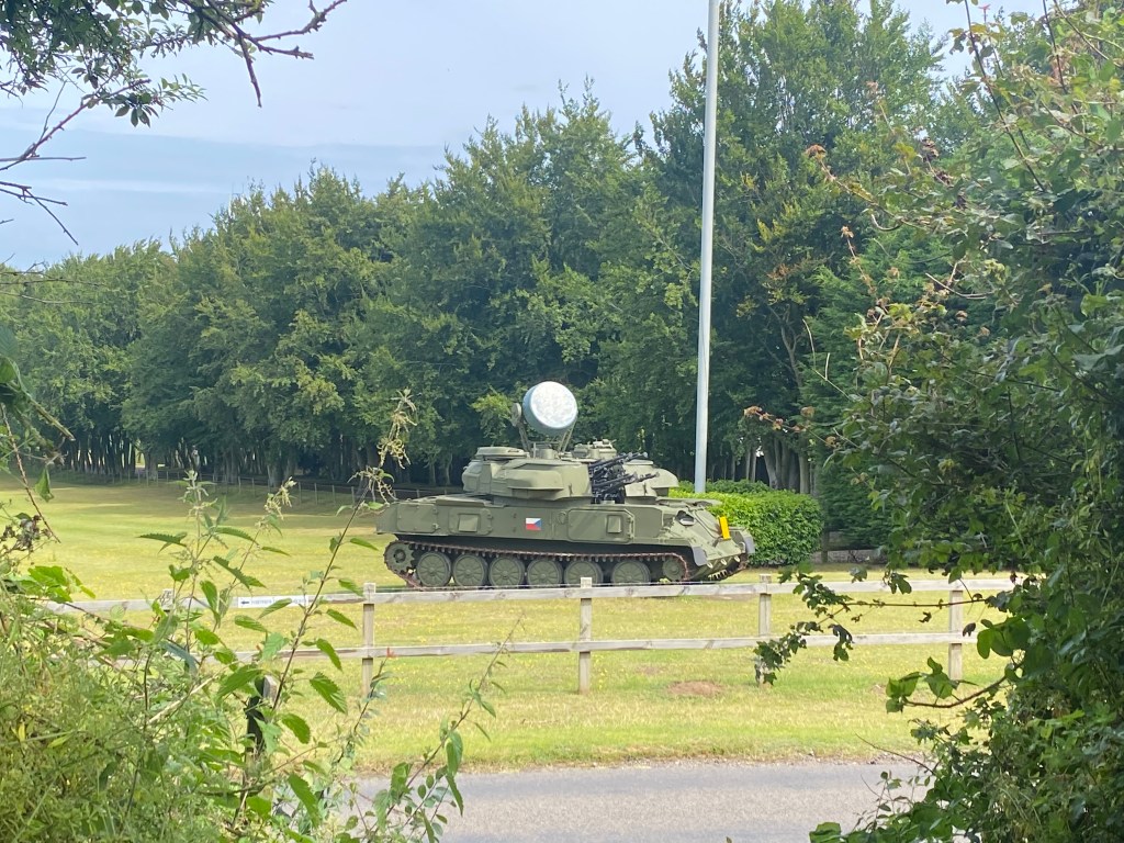
Just to warn you that when you reach the end of this long path you may feel you have walked into an invasion. Yes, that is a tank sitting in the field opposite you. It’s not a coup by North Norfolk District Council, but the Muckleburgh Collection – which is well worth a visit for historians of any kind but especially military historians.
Cross the road, marvel at the tank, and then follow the road left for a short while until a footpath appears on your right. You are now at the bottom of Muckleburgh Hill!
This was a journey of memories for Jane and I. Before marriages and children, we used to work together and ride ponies together. Jane kept her pony, Stinky, (or Oxnead Stantz, to give him his correct title) nearby and I would borrow Tzar, the most dependable pony on earth, and we would ride to the bottom of the hill very sedately. Both ponies knew what was coming though and with a leap from both, and a squeal from Stinky, they would plunge into a gallop up the hill. The gallop would slow to a canter as the hill grew steeper and steeper and as you reached the top the wind would rush down to meet you. The combination of galloping hooves, huge Norfolk skies, and the joy of being outdoors was utterly magical. Standing at the top of the hill, with the North Sea ahead of you and the rolling north Norfolk landscape behind, seated on a sweaty pony was utter perfection.
And yes, we did canter a little ourselves…

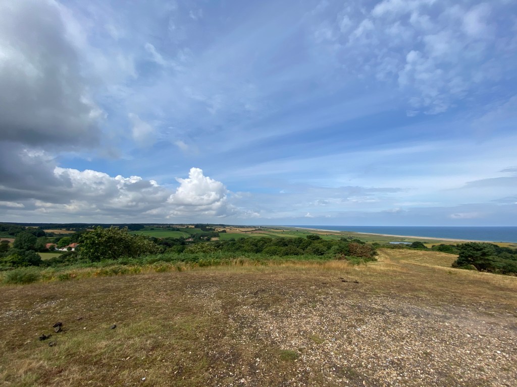
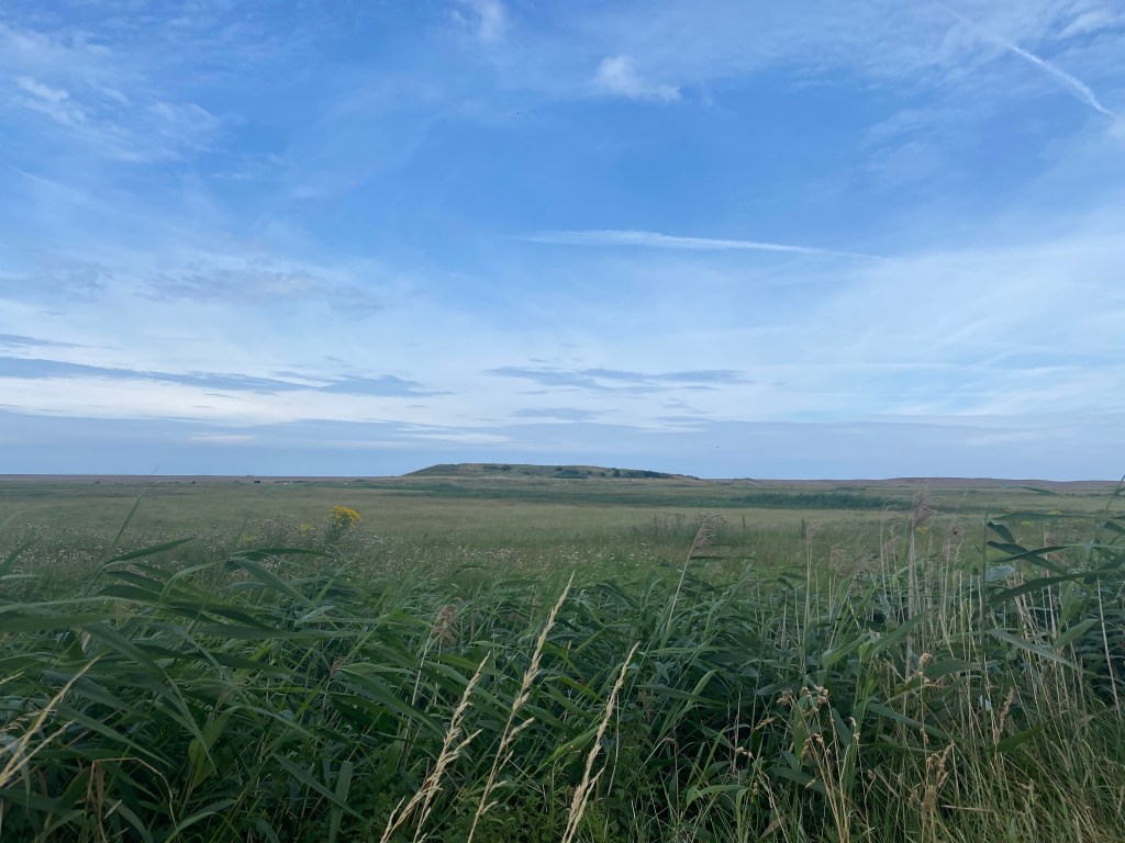
You can either climb the hill from the path you are on or follow in the ponies footsteps and skirt around the hill to right. As you come nearer the sea the trees fall away and you can see a broad swathe of turf leading up to the summit.
There’s a bench on there now, which didn’t used to be there. A lovely spot for a stop, until you stand up and realise that the bench, although looking dry, was soaked and you look like you have had a terrible incident.
After you’ve had your fill of the view from the top, turn and face the sea and set off down the hill to the left. You will skirt the edge of the Muckleburgh Collection on your right. Keep following the path which runs alongside the Collection until the it meets the stony beach of Kelling. If you feel you need to really punish your calf muscles, climb the stony sea defences, turn left and walk along the top. We went down to the waters edge and walked along here, stopping for a picnic lunch, until we came to the road which led up into the village of High Kelling.

Turn left up this little road and, depending on the season, marvel at the very badly parked cars which look as if their owners had abandoned them whilst in the middle of a hot pursuit.
When you reach the coast road, turn left and climb onto the verge and follow it until you come to a lane leading off to the left. When we walked it today (late July) clouds of butterflies would rise up from the wildflowers ahead of us. The lane grows deeper and the mass of flowers, sheltered now, were lovely.
Follow the edge of the road (there are places in the fields alongside too) until you see a footpath on the opposite side of the road, which leads uphill. This was another famous pony cantering track for us. It’s almost a mile of narrow lane, with the odd sharp bend, tree roots to dodge and branches to duck. It climbs up back onto Kelling heath and is just lovely. Dappled shade, coupled with bright bursts of sun as the trees part.
At the top of the cantering track, follow the path in front of you and it will bring you back to the car park.
This was a wonderful walk. Years may have flown by – but they don’t matter at all. Time doesn’t really count when you have a good friend.

Sparham Pools
This is a 6.62 mile walk on a variety of surfaces. It is not wheelchair friendly I’m afraid but I will be adding more walks which are inclusive. This walk also includes the element of ‘mild peril’ which Jane and I have used far too frequently when finding ourselves on a main road with no verges, or shimmying across a stream on a rotten plank. We like the element of peril – you may not!
To begin the walk find a parking spot in the village of Lenwade and walk towards the junction of Heath Lane and an unnamed lane to the west of the village. Take the unnamed lane and you should see signposts for the Wensum Way. Follow these westwards.

You now follow the Wensum way, crossing the bridges above, and skirting along the edges of Sparham Pools until you come to the village of Pockthope. Here you will join the Lyng road.
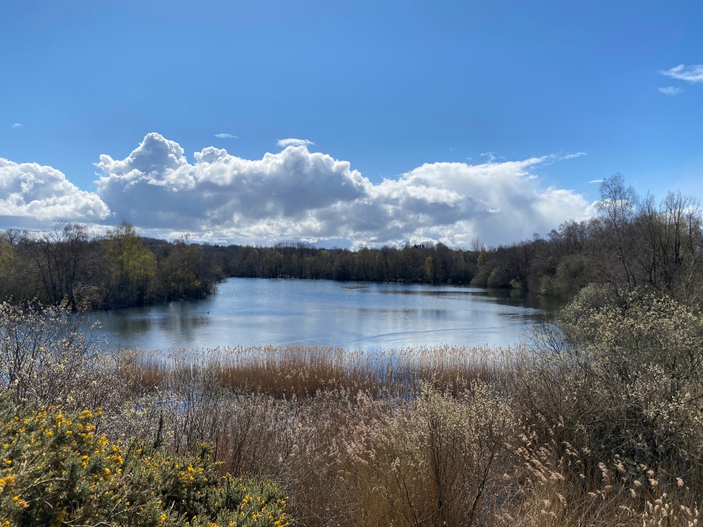
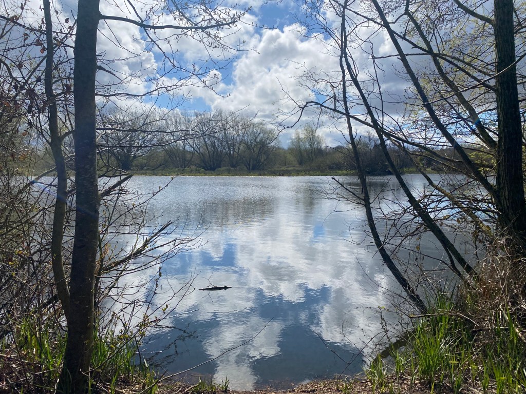
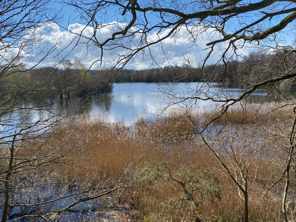
The slopes around the pools can be steep but it is a gorgeous spot.
Turn left on the Lyng road and soon you should hear the sound of rushing water.
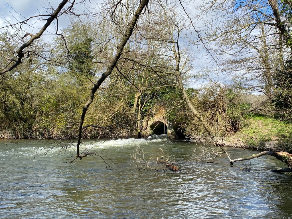
This is the first of the pools that you will come to alongside the road. Keep following it and you will come to this beauty:
Above is the grade II listed weir bridge at Lyng.
Pass the weir bridge and walk on until you come to a left turn called Rectory Road. Take this and continue onwards. Rectory Road becomes a footpath if you follow it in a straight line and so cross the field on the footpath until you come to a tarmacked land again. I loved this little section of lanes and footpaths!
This little path rose up to a small ridge and, looking back, Jane and I could see worsening weather coming across the valley. We thought it would miss us…
Turn left when you reach the tarmacked road and walk alone Collen’s Green. At the bend in the road turn right and then after a few metres, take the footpath on the left at Collen’s Green farm and head out up the hill.
We were overexcited on this part of the path as we thought we were going to cross something spectacular as the map had a black dashed line through it. Yes, as we now know and can bore people with, it was the parish boundary.
You will meet a trackway at the end of the footpath but should be able to see where the path continues across the fields a little to your right. Take this path and it will bring you to a junction with Greensgate and Rectory road. Turn left and strike out across the field on the footpath. This was where the weather hit us and, after walking in bright sunshine, suddenly it was snowing…
At the end of the footpath turn right. And yes, this is a pretty busy road. Sorry. Just do your best! We zigzagged from side to side, dodging the traffic and scrambled up banks until we came into Lenwade and the safety of our car. We did need to climb a five-bar gate but if you are more sensible than we were and stick to the edge of the road, you will not have to do this. It was worth it – but it was did incorporate mild peril.